Transport Functions
Multimodal
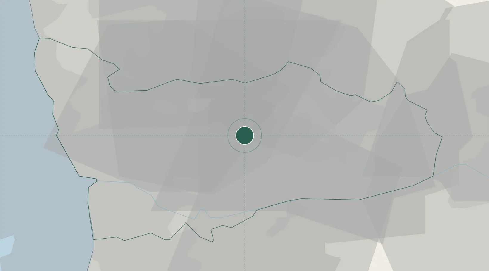
Hub Profile
Place type
Populated place
Region
Porto
Time zone
Europe/Lisbon
Elevation
191 m
Location
Nearby Logistics Neighbours
Ports
- 1Oporto31 km
- 2Porto De Leixoes33 km
- 3Viana Do Castelo66 km
- 4Aveiro72 km
- 5Vigo114 km
Airports
- 1Vilar de Luz Airfield17 km
- 2Francisco de Sá Carneiro Airport31 km
- 3Braga Municipal Aerodrome39 km
- 4Ovar Air Base46 km
- 5Vila Real Airport50 km
Trade Zones
DatabookThe Record of Consolidated Knowledge
Portugal beyond logistics?