Transport Functions
Port
Multimodal
Hub Profile
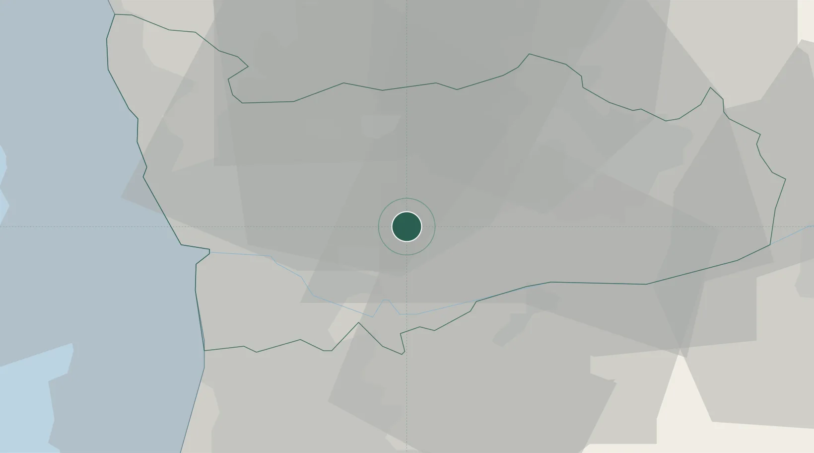
Place type
Populated place
Region
Porto
Population
4,929
Time zone
Europe/Lisbon
Elevation
300 m
Location
Nearby Logistics Neighbours
Cities
- 1Paredes5 km
- 2Valongo7 km
- 3Penafiel9 km
- 4Beire9 km
- 5Várzea do Douro10 km
Ports
- 1Oporto24 km
- 2Porto De Leixoes27 km
- 3Aveiro63 km
- 4Viana Do Castelo69 km
- 5Vigo120 km
Airports
- 1Vilar de Luz Airfield15 km
- 2Francisco de Sá Carneiro Airport26 km
- 3Ovar Air Base37 km
- 4Braga Municipal Aerodrome45 km
- 5Vila Real Airport56 km
Trade Zones
DatabookThe Record of Consolidated Knowledge
Portugal beyond logistics?