Transport Functions
Multimodal
Hub Profile
Place type
Populated place
Region
Aveiro
Time zone
Europe/Lisbon
Elevation
46 m
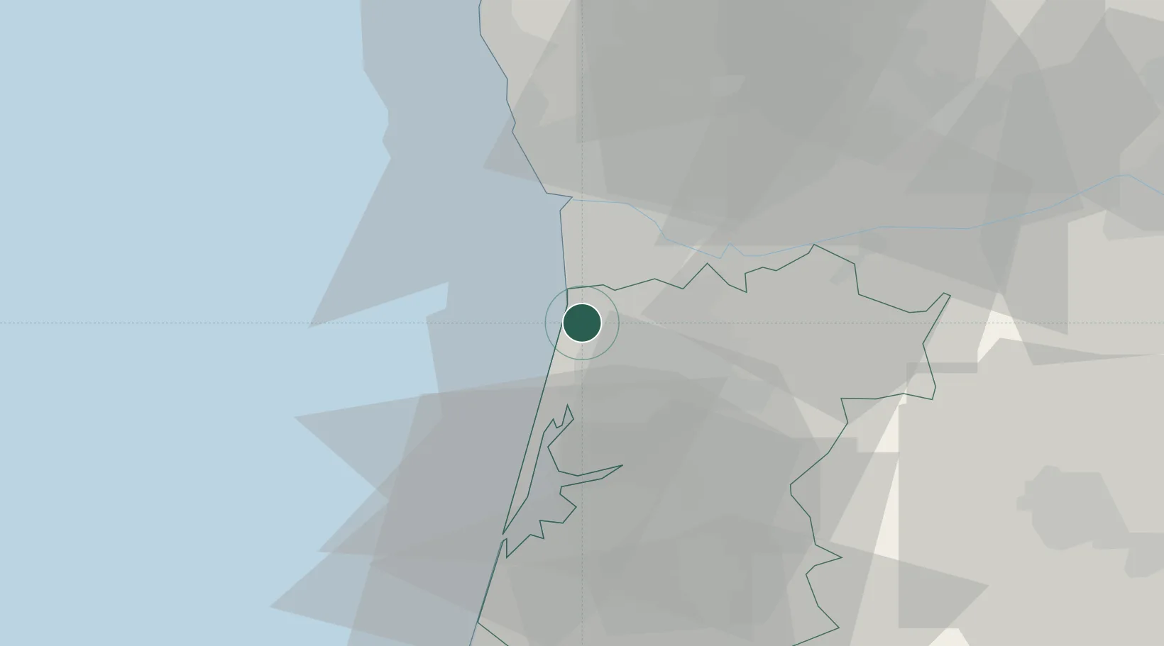
Location
Nearby Logistics Neighbours
Cities
- 1Silvalde2 km
- 2Esmoriz2 km
- 3Espinho4 km
- 4Sao Paio de Oleiros5 km
- 5Aguda9 km
Ports
- 1Oporto21 km
- 2Porto De Leixoes25 km
- 3Aveiro35 km
- 4Viana Do Castelo83 km
- 5Figueira Da Foz93 km
Airports
Trade Zones
DatabookThe Record of Consolidated Knowledge
Portugal beyond logistics?