UN/LOCODE hub · Portugal
PTTZC

Sao Paio de Oleiros

40.9833°, -8.5833°
1
Transport functions

Transport Functions

Multimodal
UN/LOCODE

Hub Profile

Region
01
GeoNames

Location

Location of PTTZC
Natural Earth 10m (public domain) · 01 · PTTZC · 40.98, -8.58GoogleOSMYandex

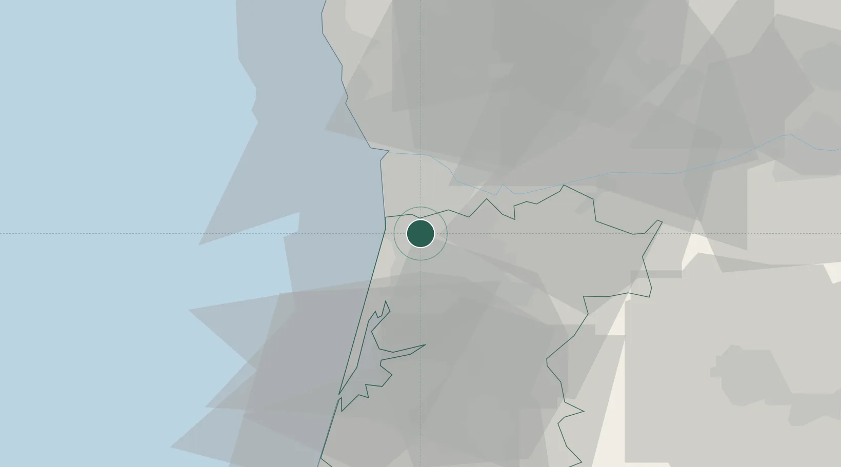
Nearby Logistics Neighbours

Cities
  1. 1Silvalde3 km
  2. 2Espinho5 km
  3. 3Paramos5 km
  4. 4Esmoriz5 km
  5. 5Fiaes6 km
Nearest neighbours — logibook spatial index (haversine) over the source coordinates
Ports
  1. 1Oporto20 km
  2. 2Porto De Leixoes24 km
  3. 3Aveiro38 km
  4. 4Viana Do Castelo82 km
  5. 5Figueira Da Foz95 km
Nearest neighbours — logibook spatial index (haversine) over the source coordinates
Airports
  1. 1Ovar Air Base9 km
  2. 2Francisco de Sá Carneiro Airport31 km
  3. 3Vilar de Luz Airfield33 km
  4. 4Aerodromo Goncalves Lobato (Viseu Airport)65 km
  5. 5Braga Municipal Aerodrome68 km
Nearest neighbours — logibook spatial index (haversine) over the source coordinates
Trade Zones
  1. 1VGP Park Santa Maria da Feira6 km
  2. 2Zona Livre Tecnológica Masotinhos23 km
  3. 3Zona Franca de Vigo139 km
  4. 4Depósito Franco de La Coruña265 km
  5. 5Depósito Franco de Gijón373 km
Nearest neighbours — logibook spatial index (haversine) over the source coordinates
DatabookThe Record of Consolidated Knowledge
Portugal beyond logistics?
Browse databook

All Sources

LocationsUN/LOCODE
UN/LOCODE — free
Portsthe NGA World Port Index
Public domain (US gov)
AirportsOurAirports
Public domain
Trade Zonesthe World Bank SEZ database
CC BY 4.0
Trade ZonesOpen Zone Map
CC BY
← Portugal locations