Transport Functions
Port
Hub Profile
Place type
Populated place
Region
Porto
Time zone
Europe/Lisbon
Elevation
17 m
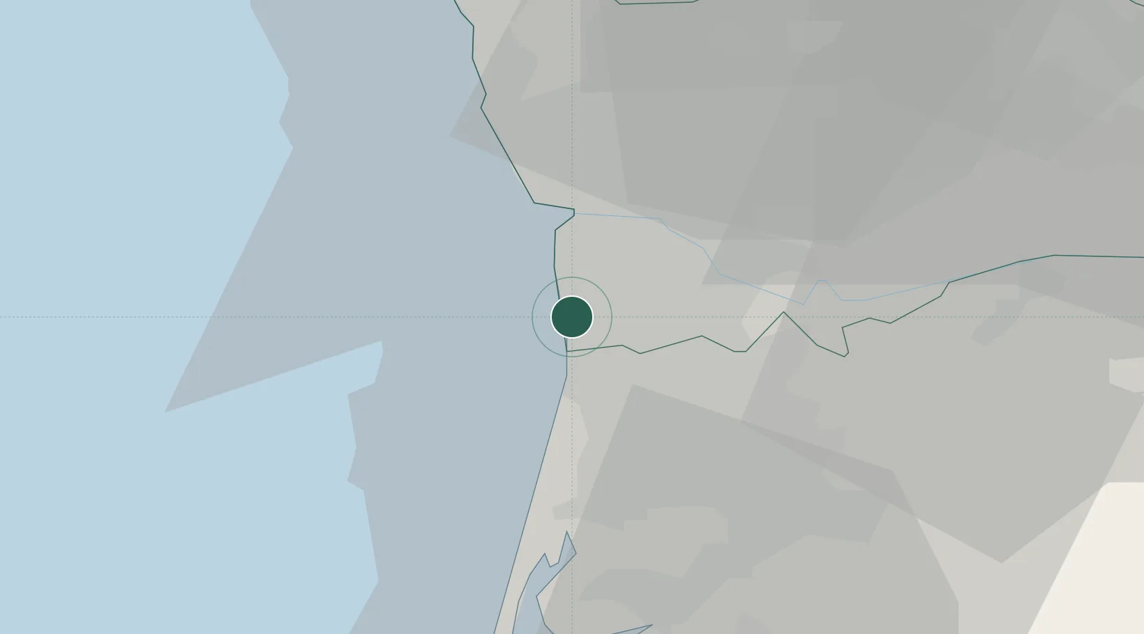
Location
Nearby Logistics Neighbours
Cities
- 1Lanheses1 km
- 2Canelas5 km
- 3Vilar do Paraíso5 km
- 4Espinho6 km
- 5Silvalde8 km
Ports
- 1Oporto11 km
- 2Porto De Leixoes15 km
- 3Aveiro45 km
- 4Viana Do Castelo74 km
- 5Figueira Da Foz102 km
Airports
Trade Zones
DatabookThe Record of Consolidated Knowledge
Portugal beyond logistics?