Transport Functions
Rail
Road
Hub Profile
Place type
Populated place
Region
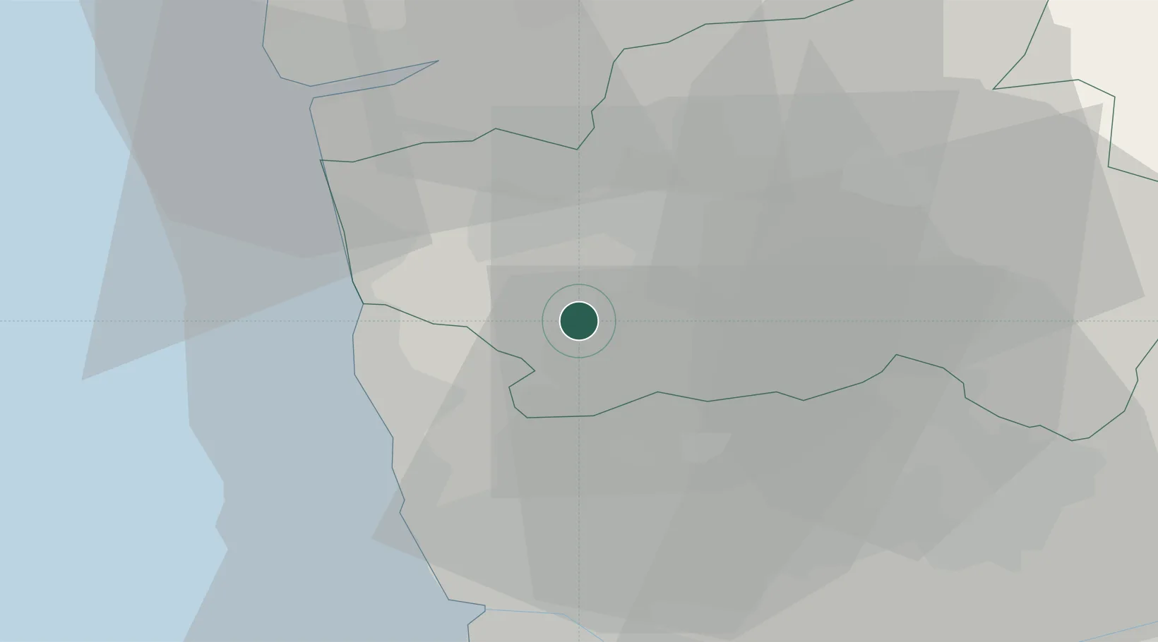
Braga
Population
5,001
Time zone
Europe/Lisbon
Elevation
86 m
Location
Nearby Logistics Neighbours
Cities
- 1Vila Nova de Famalicao4 km
- 2Carvalhos5 km
- 3Adães8 km
- 4Requião8 km
- 5Barcelos11 km
Ports
- 1Porto De Leixoes32 km
- 2Oporto35 km
- 3Viana Do Castelo36 km
- 4Vigo88 km
- 5Aveiro89 km
Airports
- 1Braga Municipal Aerodrome18 km
- 2Vilar de Luz Airfield19 km
- 3Francisco de Sá Carneiro Airport25 km
- 4Ovar Air Base60 km
- 5Vila Real Airport72 km
Trade Zones
DatabookThe Record of Consolidated Knowledge
Portugal beyond logistics?