Transport Functions
Rail
Road
Hub Profile
Place type
Populated place
Region
Braga
Time zone
Europe/Lisbon
Elevation
69 m
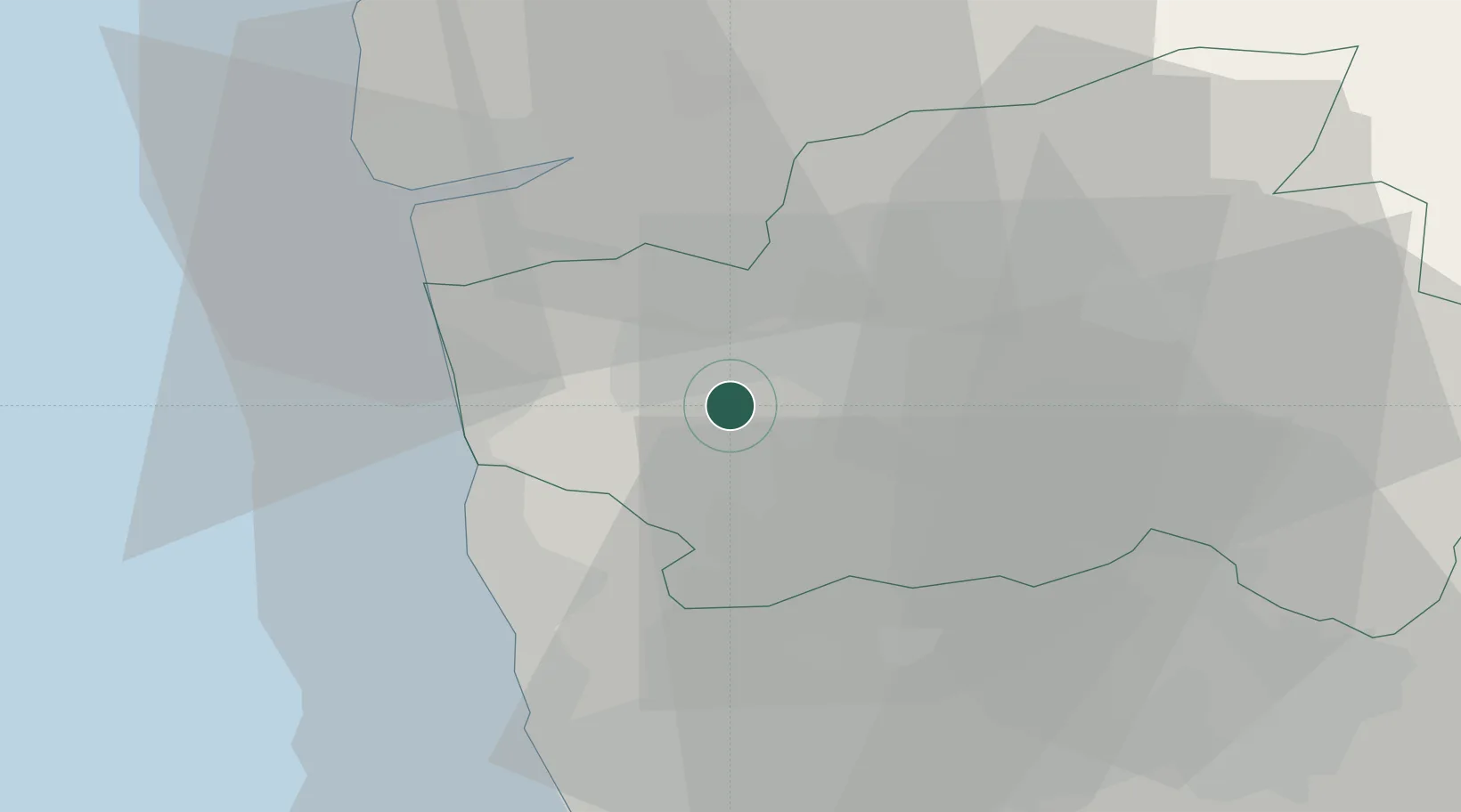
Location
Nearby Logistics Neighbours
Cities
- 1Barcelos5 km
- 2Carvalhos6 km
- 3Nine8 km
- 4Parada de Tibães10 km
- 5Vila Nova de Famalicao12 km
Ports
- 1Viana Do Castelo30 km
- 2Porto De Leixoes39 km
- 3Oporto42 km
- 4Vigo81 km
- 5Aveiro97 km
Airports
- 1Braga Municipal Aerodrome13 km
- 2Vilar de Luz Airfield27 km
- 3Francisco de Sá Carneiro Airport31 km
- 4Ovar Air Base67 km
- 5Vila Real Airport76 km
Trade Zones
DatabookThe Record of Consolidated Knowledge
Portugal beyond logistics?