UN/LOCODE hub · Portugal
PTRQU

Requião

41.4000°, -8.4833°
2
Transport functions

Transport Functions

Port
Multimodal
UN/LOCODE

Hub Profile

Place type
Populated place
GeoNames
Region
Braga
GeoNames
Time zone
Europe/Lisbon
GeoNames
Elevation
115 m
GeoNames

Location

Location of PTRQU
Natural Earth 10m (public domain) · Braga · PTRQU · 41.40, -8.48GoogleOSMYandex

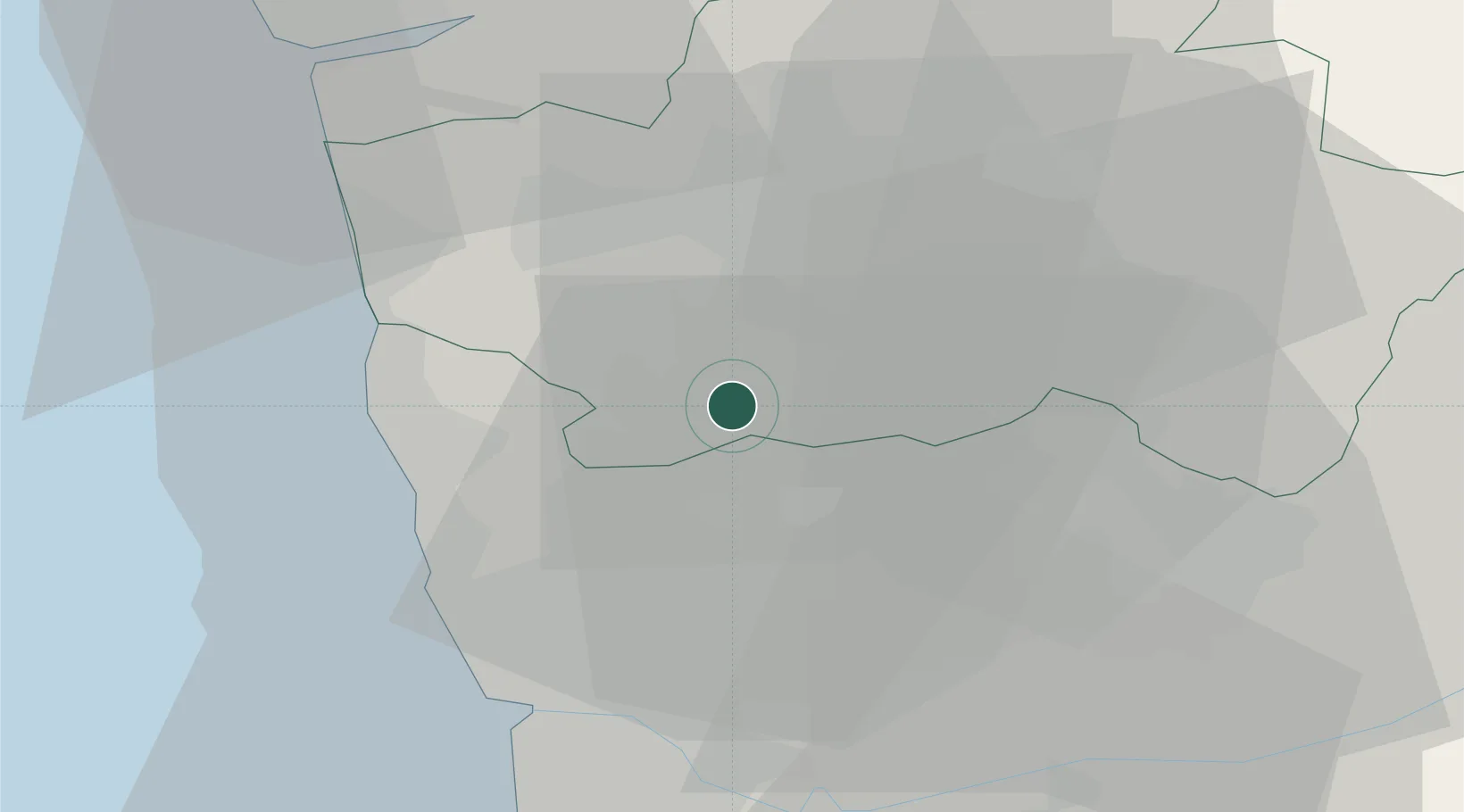
Nearby Logistics Neighbours

Cities
  1. 1Vila Nova de Famalicao5 km
  2. 2Nine8 km
  3. 3Rebordoes8 km
  4. 4Lordelo9 km
  5. 5Pedome10 km
Nearest neighbours — logibook spatial index (haversine) over the source coordinates
Ports
  1. 1Porto De Leixoes30 km
  2. 2Oporto32 km
  3. 3Viana Do Castelo44 km
  4. 4Aveiro85 km
  5. 5Vigo95 km
Nearest neighbours — logibook spatial index (haversine) over the source coordinates
Airports
  1. 1Vilar de Luz Airfield14 km
  2. 2Braga Municipal Aerodrome21 km
  3. 3Francisco de Sá Carneiro Airport24 km
  4. 4Ovar Air Base56 km
  5. 5Vila Real Airport65 km
Nearest neighbours — logibook spatial index (haversine) over the source coordinates
Trade Zones
  1. 1Zona Livre Tecnológica Masotinhos30 km
  2. 2VGP Park Santa Maria da Feira53 km
  3. 3Zona Franca de Vigo95 km
  4. 4Depósito Franco de La Coruña218 km
  5. 5Depósito Franco de Gijón332 km
Nearest neighbours — logibook spatial index (haversine) over the source coordinates
DatabookThe Record of Consolidated Knowledge
Portugal beyond logistics?
Browse databook

All Sources

LocationsUN/LOCODE
UN/LOCODE — free
Portsthe NGA World Port Index
Public domain (US gov)
AirportsOurAirports
Public domain
Trade Zonesthe World Bank SEZ database
CC BY 4.0
Trade ZonesOpen Zone Map
CC BY
← Portugal locations