Transport Functions
Port
Road
Hub Profile
Place type
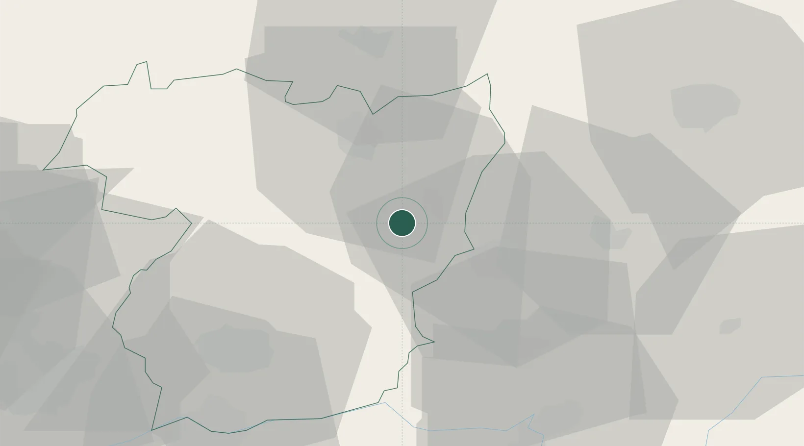
Populated place
Region
Vila Real
Time zone
Europe/Lisbon
Elevation
571 m
Location
Nearby Logistics Neighbours
Ports
- 1Oporto117 km
- 2Porto De Leixoes119 km
- 3Viana Do Castelo121 km
- 4Vigo132 km
- 5Marin142 km
Airports
- 1Vila Real Airport44 km
- 2Bragança Airport64 km
- 3Braga Municipal Aerodrome88 km
- 4Vilar de Luz Airfield100 km
- 5Aerodromo Goncalves Lobato (Viseu Airport)104 km
Trade Zones
- 1Zona Livre Tecnológica Masotinhos117 km
- 2VGP Park Santa Maria da Feira123 km
- 3Zona Franca de Vigo134 km
- 4Depósito Franco de La Coruña214 km
- 5Depósito Franco de Gijón260 km
DatabookThe Record of Consolidated Knowledge
Portugal beyond logistics?