Transport Functions
Multimodal
Hub Profile
Place type
Populated place
Region
Greater Poland
Time zone
Europe/Warsaw
Elevation
121 m
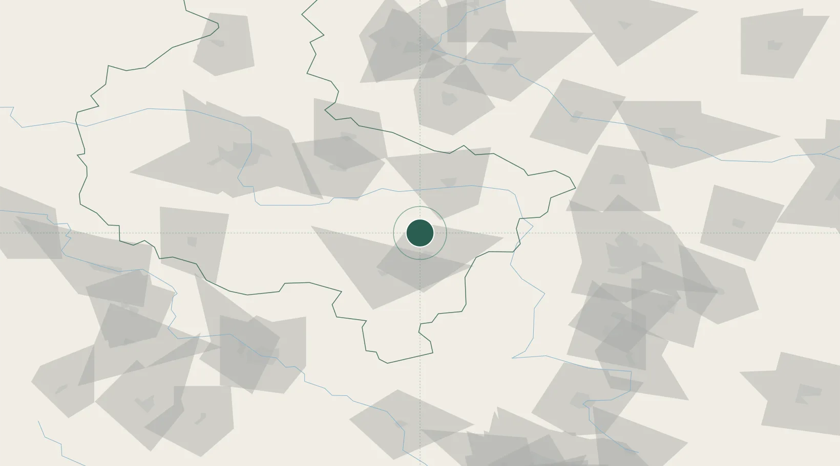
Location
Nearby Logistics Neighbours
Cities
- 1Plblz5 km
- 2Zelazków11 km
- 3Rybie14 km
- 4Nowe Skalmierzyce23 km
- 5Ociaz24 km
Airports
- 1Powidz Military Air Base54 km
- 2Leźnica Wielka Air Base75 km
- 3Łask Air Base87 km
- 4Krzesiny Military Air Base88 km
- 5Łódź Władysław Reymont Airport94 km
Trade Zones
- 1Łódź SEZ (ōódzka SSE)99 km
- 2East-West Duty Free Zone167 km
- 3Wałbrzych SEZ INVEST-PARK (Wałbrzyska SSE)173 km
- 4Silesian Center for Logistics181 km
- 5Kamienna Góra190 km
DatabookThe Record of Consolidated Knowledge
Poland beyond logistics?