About
Methodology
Sources
Licensing
English
EN
English
TR
Türkçe
DE
Deutsch
FR
Français
ES
Español
IT
Italiano
PT
Português
NL
Nederlands
PL
Polski
RU
Русский
UK
Українська
CS
Čeština
RO
Română
EL
Ελληνικά
BG
Български
AR
العربية
FA
فارسی
UR
اردو
HI
हिन्दी
BN
বাংলা
ID
Bahasa Indonesia
VI
Tiếng Việt
ZH
中文
JA
日本語
KO
한국어
logibook
/
Countries
/
Poland
/
Locations
/
Ustron
UN/LOCODE hub ·
Poland
PL
USR
Ustron
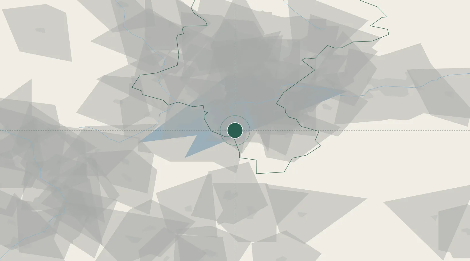
49.7167°, 18.8000°
15,637
Population
2
Transport functions
Transport Functions
Rail
Road
UN/LOCODE
Hub Profile
Place type
District seat
GeoNames
Region
Silesia
GeoNames
Population
15,637
GeoNames
Time zone
Europe/Warsaw
GeoNames
Elevation
355 m
GeoNames
Location
Natural Earth 10m (public domain) · Silesia · PLUSR · 49.72, 18.80
Google ↗
OSM ↗
Yandex ↗
Nearby Logistics Neighbours
Cities
1
Goleszów
5 km
2
Wisla
7 km
3
Cesky Tesín
14 km
4
Smilovice
17 km
5
Tranovice
18 km
Nearest neighbours — logibook spatial index (haversine) over the source coordinates
Ports
1
Szczecin
505 km
2
Gdansk
515 km
3
Police
518 km
4
Nowy Port
523 km
5
Gdynia
536 km
Nearest neighbours — logibook spatial index (haversine) over the source coordinates
Airports
1
Leoš Janáček Airport Ostrava
50 km
2
Žilina-Dolný Hričov Airport
55 km
3
Kraków John Paul II International Airport
81 km
4
Katowice Wojciech Korfanty International Airport
87 km
5
Přerov Air Base
106 km
Nearest neighbours — logibook spatial index (haversine) over the source coordinates
Trade Zones
1
Karvinská Specialized Economic Zone
27 km
2
Mošnov Development Area
50 km
3
Katowice SEZ (Katowicka SSE)
56 km
4
Silesian Center for Logistics
69 km
5
Kraków Technology Park
85 km
Nearest neighbours — logibook spatial index (haversine) over the source coordinates
Data
book
The Record of Consolidated Knowledge
Poland beyond logistics?
Browse databook
→
All Sources
Locations
UN/LOCODE
UN/LOCODE — free
↗
Locations
GeoNames
CC BY 4.0
↗
Ports
the NGA World Port Index
Public domain (US gov)
↗
Airports
OurAirports
Public domain
↗
Trade Zones
the World Bank SEZ database
CC BY 4.0
↗
Trade Zones
Open Zone Map
CC BY
↗
← Poland locations