Transport Functions
Rail
Road
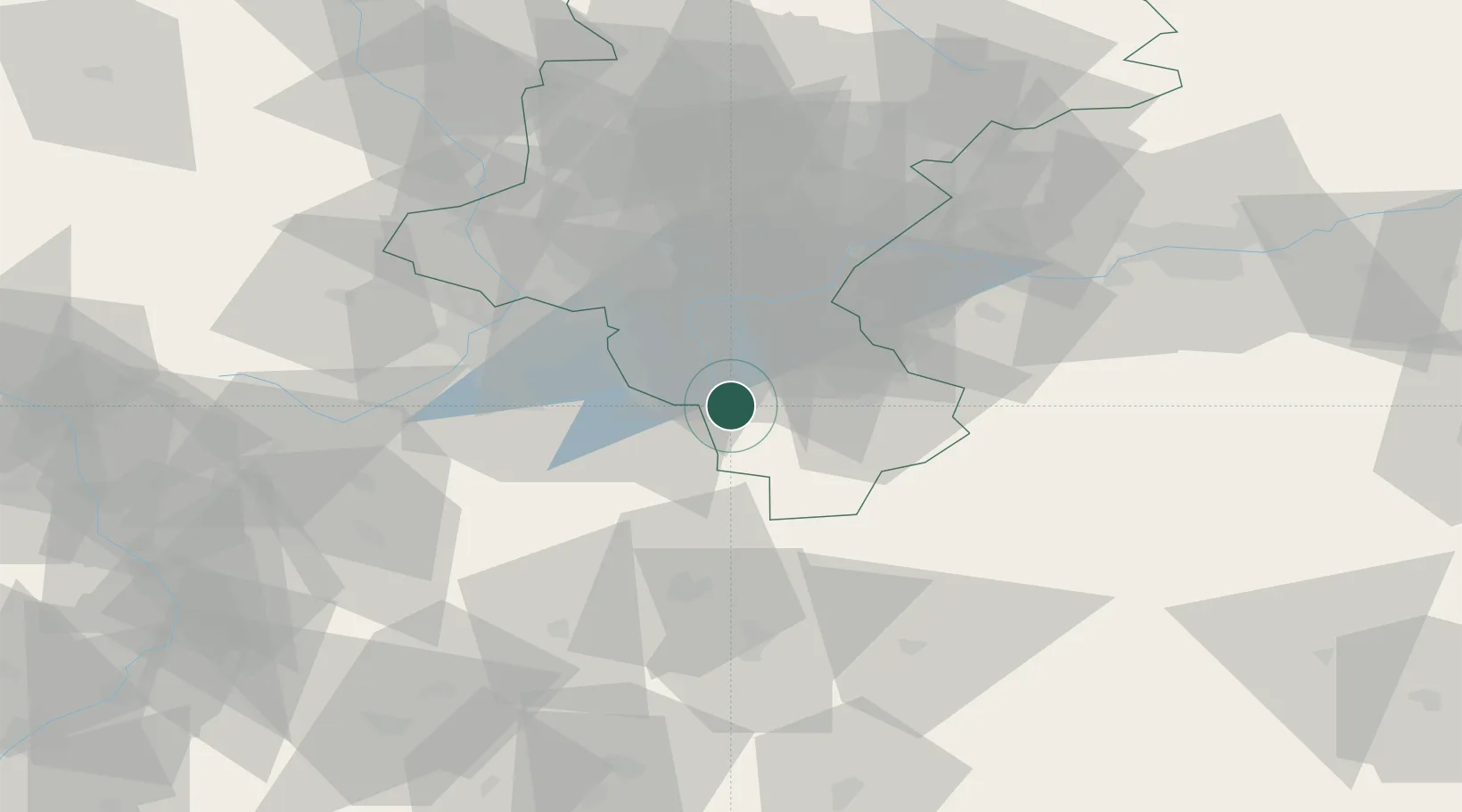
Hub Profile
Place type
District seat
Region
Silesia
Population
11,379
Time zone
Europe/Warsaw
Elevation
428 m
Location
Nearby Logistics Neighbours
Cities
- 1Ustron7 km
- 2Goleszów12 km
- 3Cesky Tesín20 km
- 4Smilovice20 km
- 5Pietrzykowice22 km
Airports
Trade Zones
DatabookThe Record of Consolidated Knowledge
Poland beyond logistics?