Transport Functions
Multimodal
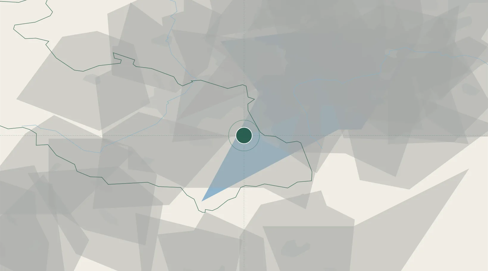
Hub Profile
Place type
Populated place
Region
Moravskoslezský
Population
1,101
Time zone
Europe/Prague
Elevation
346 m
Location
Nearby Logistics Neighbours
Cities
- 1Smilovice4 km
- 2Cesky Tesín7 km
- 3Horní Suchá12 km
- 4Goleszów14 km
- 5Sviadnov14 km
Airports
Trade Zones
DatabookThe Record of Consolidated Knowledge
Czechia beyond logistics?