Transport Functions
Rail
Road
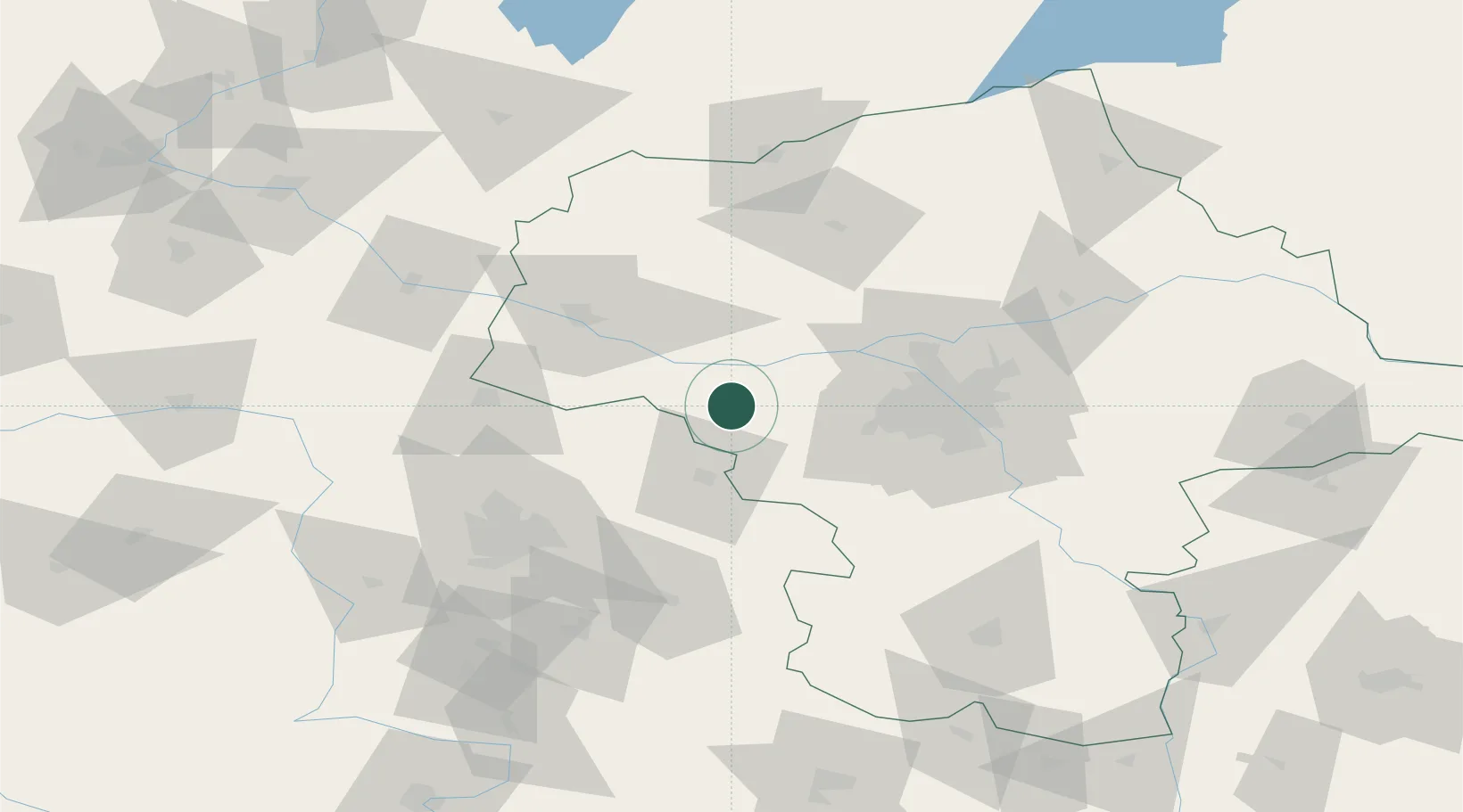
Hub Profile
Place type
Provincial seat
Region
Mazovia
Population
38,267
Time zone
Europe/Warsaw
Elevation
87 m
Location
Nearby Logistics Neighbours
Ports
- 1Gdansk257 km
- 2Nowy Port264 km
- 3Baltiysk268 km
- 4Kaliningrad275 km
- 5Gdynia279 km
Airports
Trade Zones
DatabookThe Record of Consolidated Knowledge
Poland beyond logistics?