Transport Functions
Port
Road
Hub Profile
Place type
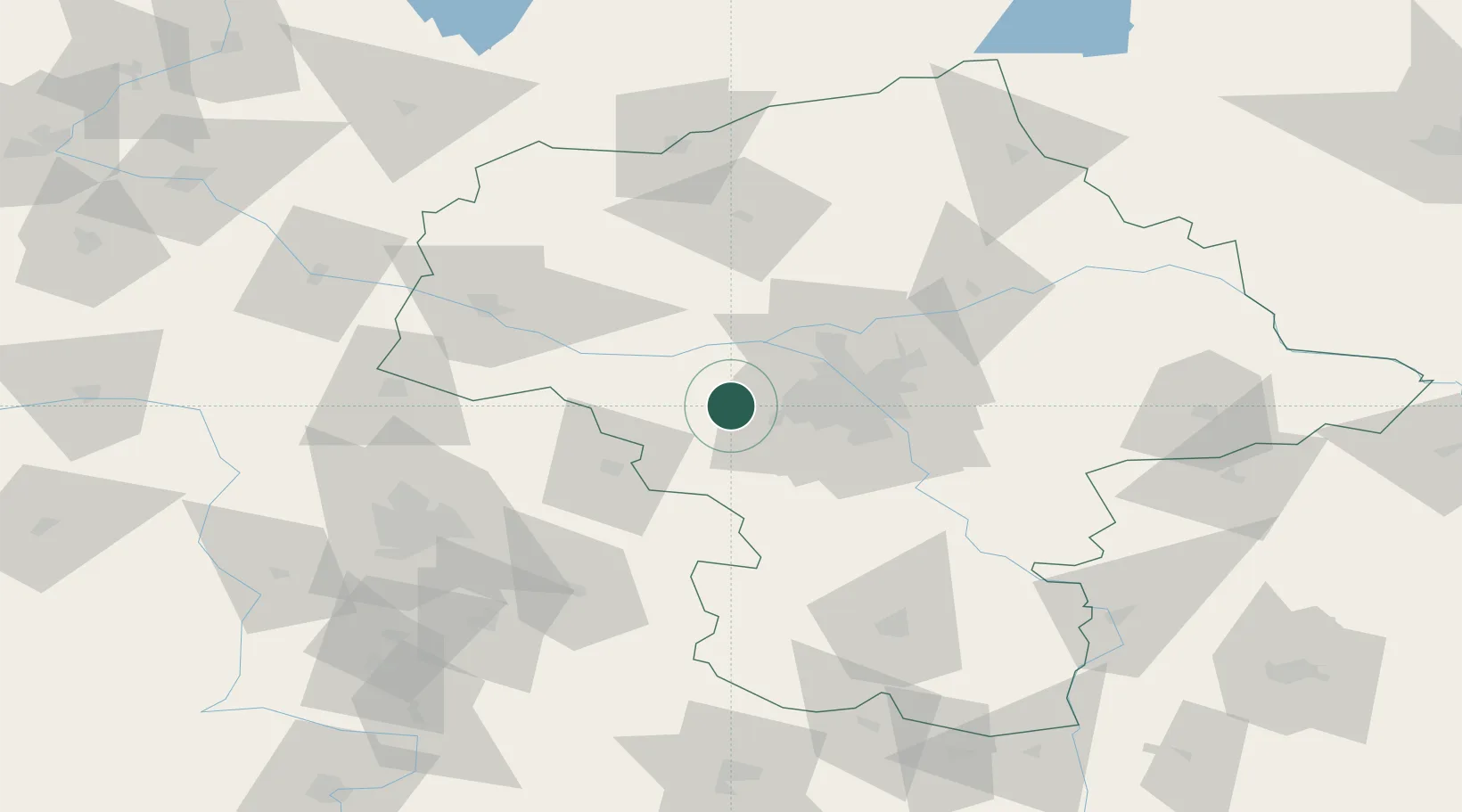
Populated place
Region
Mazovia
Time zone
Europe/Warsaw
Elevation
86 m
Location
Nearby Logistics Neighbours
Cities
- 1Blonie4 km
- 2Kopytów6 km
- 3Swiecice9 km
- 4Teresin10 km
- 5Grodzisk Mazowiecki10 km
Ports
- 1Gdansk270 km
- 2Baltiysk274 km
- 3Nowy Port277 km
- 4Kaliningrad278 km
- 5Gdynia292 km
Airports
Trade Zones
DatabookThe Record of Consolidated Knowledge
Poland beyond logistics?