Transport Functions
Rail
Road
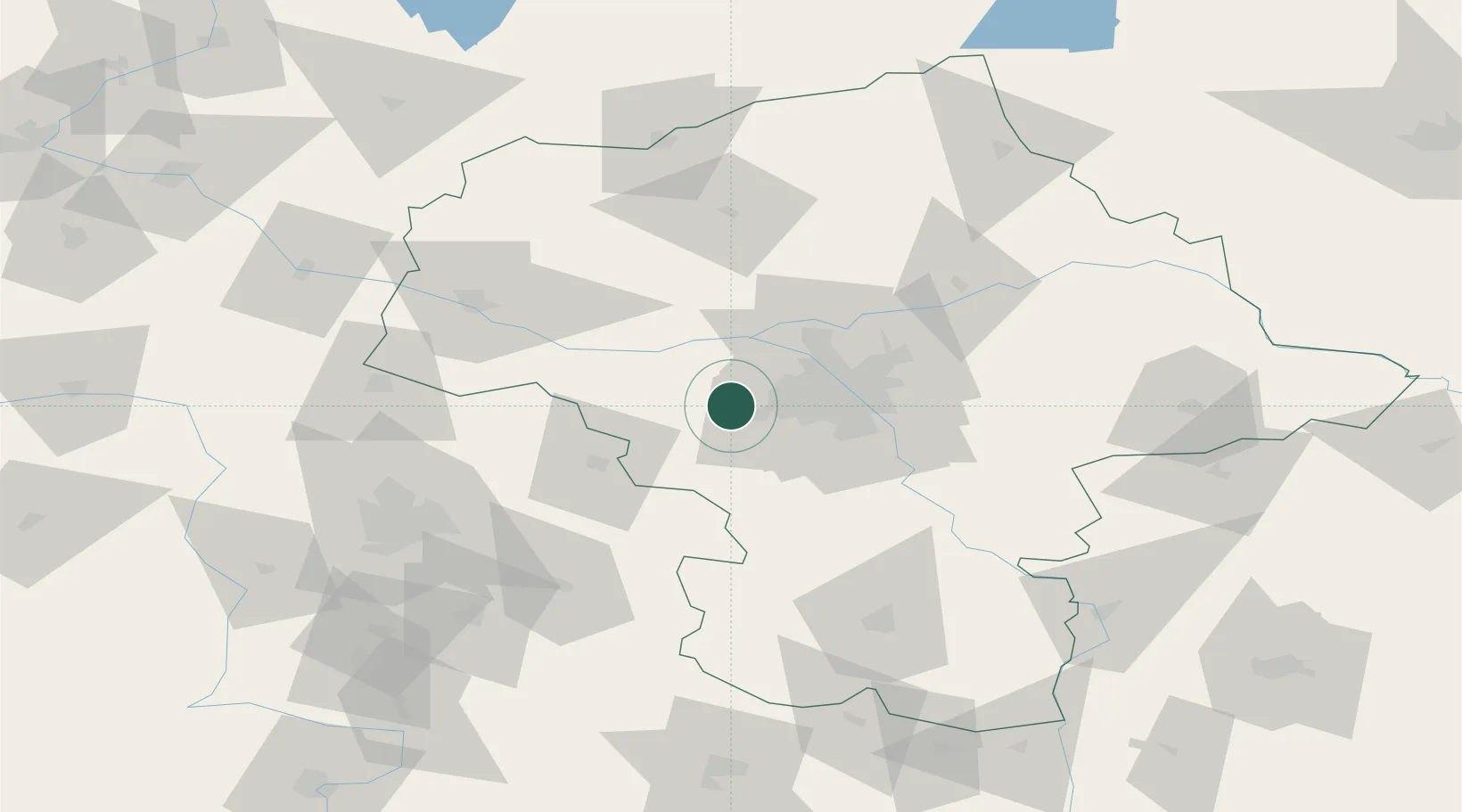
Hub Profile
Place type
District seat
Region
Mazovia
Population
12,195
Time zone
Europe/Warsaw
Elevation
88 m
Location
Nearby Logistics Neighbours
Cities
- 1Kopytów3 km
- 2Piorunów4 km
- 3Swiecice7 km
- 4Grodzisk Mazowiecki8 km
- 5Jaktorów12 km
Ports
- 1Gdansk274 km
- 2Baltiysk277 km
- 3Kaliningrad280 km
- 4Nowy Port280 km
- 5Gdynia295 km
Airports
Trade Zones
DatabookThe Record of Consolidated Knowledge
Poland beyond logistics?