Transport Functions
Rail
Road
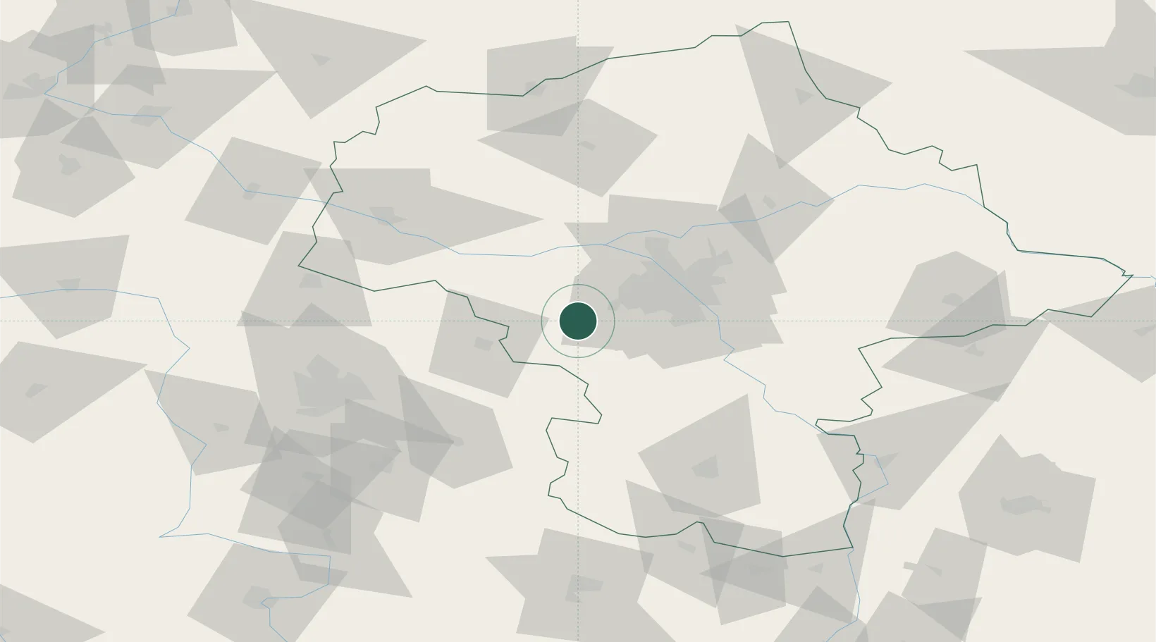
Hub Profile
Place type
Populated place
Region
Mazovia
Population
910
Time zone
Europe/Warsaw
Elevation
111 m
Location
Nearby Logistics Neighbours
Cities
- 1Grodzisk Mazowiecki6 km
- 2Blonie12 km
- 3Piorunów13 km
- 4Kopytów14 km
- 5Kanie15 km
Ports
- 1Gdansk282 km
- 2Baltiysk287 km
- 3Nowy Port289 km
- 4Kaliningrad291 km
- 5Gdynia304 km
Airports
Trade Zones
DatabookThe Record of Consolidated Knowledge
Poland beyond logistics?