Transport Functions
Road
Multimodal
Hub Profile
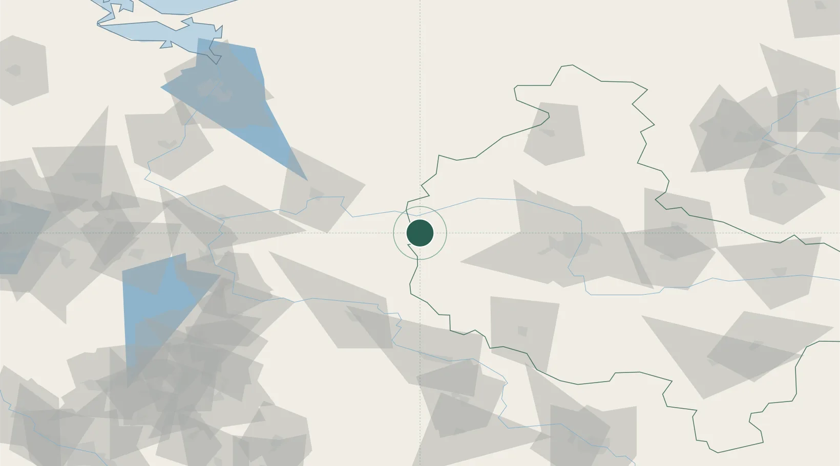
Place type
Populated place
Region
Greater Poland
Population
671
Time zone
Europe/Warsaw
Elevation
81 m
Location
Nearby Logistics Neighbours
Cities
- 1Miedzychód11 km
- 2Kwilcz13 km
- 3Pniewy23 km
- 4Chobienice37 km
- 5Drezdenko-Chyze38 km
Ports
- 1Szczecin137 km
- 2Police149 km
- 3Swinoujscie192 km
- 4Kolobrzeg192 km
- 5Darlowo218 km
Airports
Trade Zones
DatabookThe Record of Consolidated Knowledge
Poland beyond logistics?