Transport Functions
Rail
Road
Hub Profile
Place type
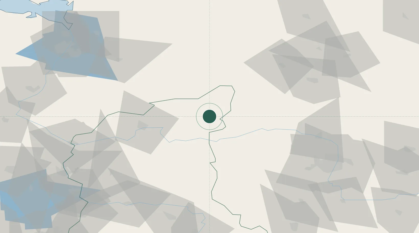
Populated place
Region
Lubusz
Time zone
Europe/Warsaw
Elevation
30 m
Location
Nearby Logistics Neighbours
Cities
- 1Wielen23 km
- 2Miedzychód26 km
- 3Santok30 km
- 4Zalom32 km
- 5Czlopa34 km
Ports
- 1Szczecin107 km
- 2Police117 km
- 3Kolobrzeg155 km
- 4Swinoujscie159 km
- 5Darlowo182 km
Airports
Trade Zones
- 1Kostrzyń-Słubice SEZ85 km
- 2Szczecin Duty Free Zone107 km
- 3Swinoujscie Duty Free Zone157 km
- 4Legnica SEZ (Legnicka SSE)173 km
- 5Słupsk SEZ (Słupska SSE)198 km
DatabookThe Record of Consolidated Knowledge
Poland beyond logistics?