UN/LOCODE hub · Poland
PLMZD

Miedzychód

52.6000°, 15.8833°
10,994
Population
2
Transport functions

Transport Functions

Rail
Road
UN/LOCODE

Hub Profile

Place type
Provincial seat
GeoNames
Region
Greater Poland
GeoNames
Population
10,994
GeoNames
Time zone
Europe/Warsaw
GeoNames
Elevation
37 m
GeoNames

Location

Location of PLMZD
Natural Earth 10m (public domain) · Greater Poland · PLMZD · 52.60, 15.88GoogleOSMYandex

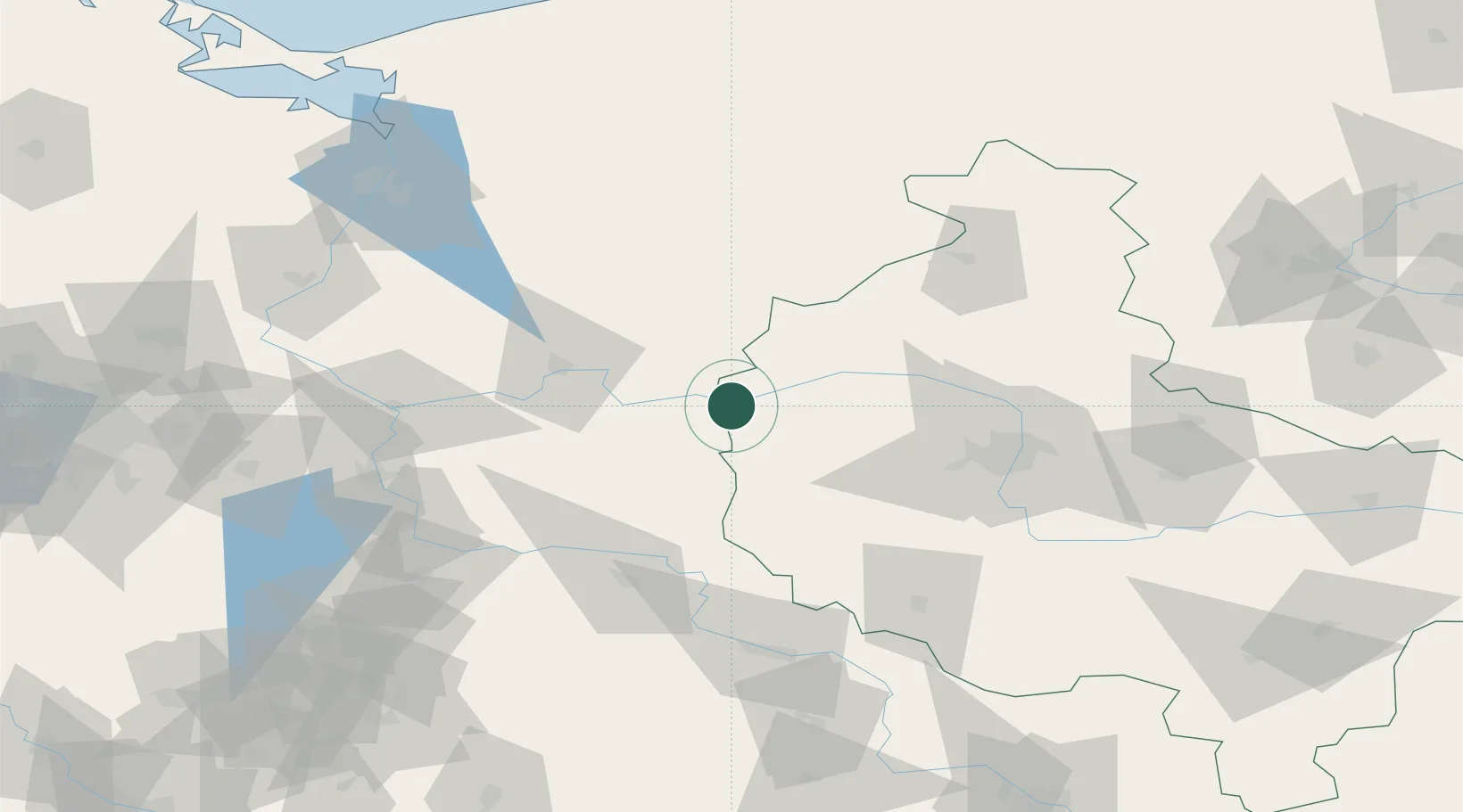
Nearby Logistics Neighbours

Cities
  1. 1Lowyn11 km
  2. 2Kwilcz15 km
  3. 3Drezdenko-Chyze26 km
  4. 4Pniewy27 km
  5. 5Santok35 km
Nearest neighbours — logibook spatial index (haversine) over the source coordinates
Ports
  1. 1Szczecin127 km
  2. 2Police139 km
  3. 3Kolobrzeg181 km
  4. 4Swinoujscie182 km
  5. 5Darlowo207 km
Nearest neighbours — logibook spatial index (haversine) over the source coordinates
Airports
  1. 1Zielona Góra-Babimost Airport52 km
  2. 2Poznań-Ławica Airport67 km
  3. 3Krzesiny Military Air Base79 km
  4. 4Miroslawiec Military Air Base89 km
  5. 5Solidarity Szczecin–Goleniów Airport128 km
Nearest neighbours — logibook spatial index (haversine) over the source coordinates
Trade Zones
  1. 1Kostrzyń-Słubice SEZ84 km
  2. 2Szczecin Duty Free Zone127 km
  3. 3Legnica SEZ (Legnicka SSE)147 km
  4. 4Swinoujscie Duty Free Zone180 km
  5. 5Wałbrzych SEZ INVEST-PARK (Wałbrzyska SSE)200 km
Nearest neighbours — logibook spatial index (haversine) over the source coordinates
DatabookThe Record of Consolidated Knowledge
Poland beyond logistics?
Browse databook

All Sources

LocationsUN/LOCODE
UN/LOCODE — free
LocationsGeoNames
CC BY 4.0
Portsthe NGA World Port Index
Public domain (US gov)
AirportsOurAirports
Public domain
Trade Zonesthe World Bank SEZ database
CC BY 4.0
Trade ZonesOpen Zone Map
CC BY
← Poland locations