Transport Functions
Rail
Road
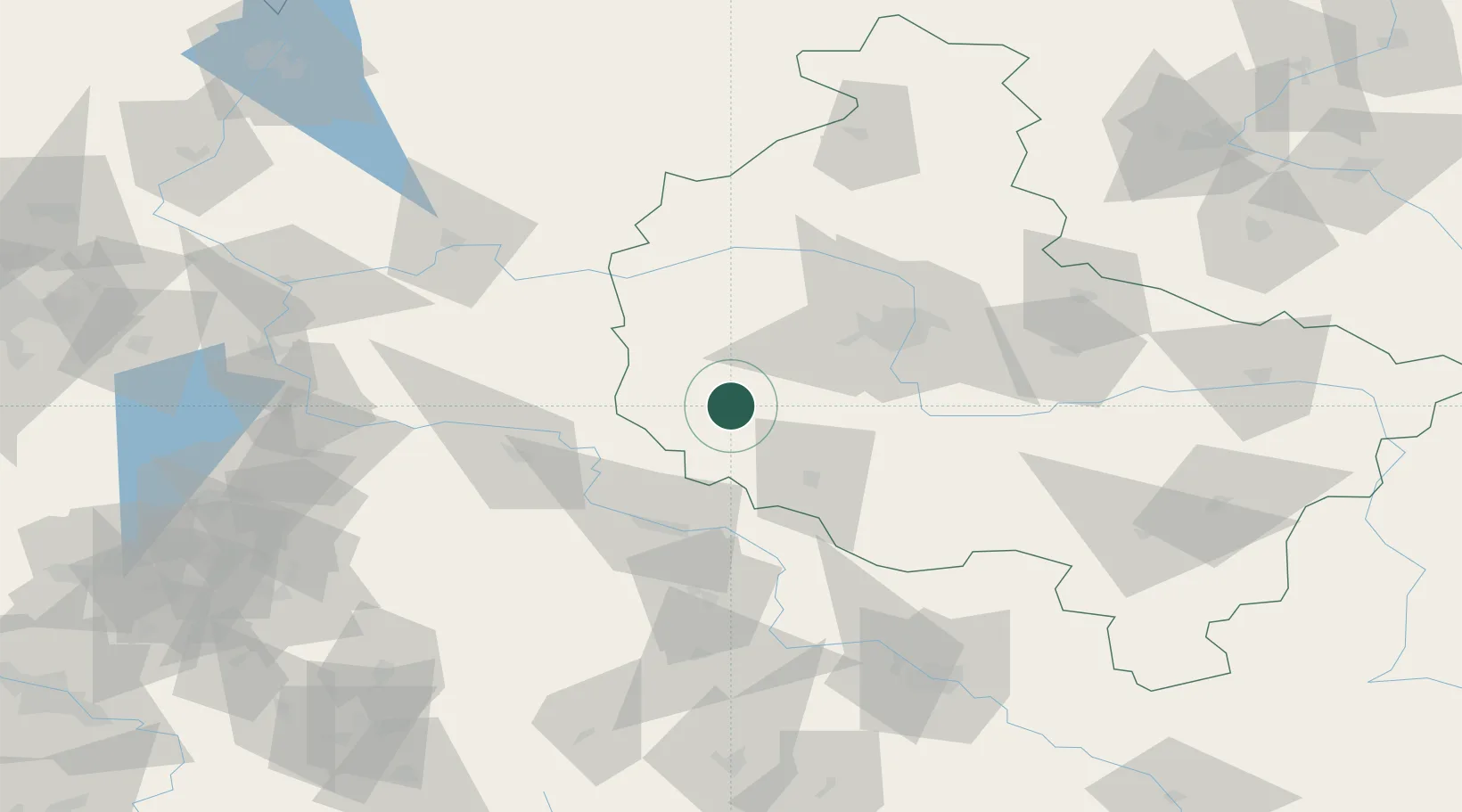
Hub Profile
Place type
District seat
Region
Greater Poland
Population
3,322
Time zone
Europe/Warsaw
Elevation
101 m
Location
Nearby Logistics Neighbours
Cities
- 1Wielichowo6 km
- 2Ruchocice7 km
- 3Jablonna10 km
- 4Opalenica21 km
- 5Chobienice24 km
Ports
- 1Szczecin184 km
- 2Police197 km
- 3Kolobrzeg237 km
- 4Swinoujscie240 km
- 5Darlowo256 km
Airports
- 1Zielona Góra-Babimost Airport33 km
- 2Poznań-Ławica Airport49 km
- 3Krzesiny Military Air Base52 km
- 4Powidz Military Air Base110 km
- 5Copernicus Wrocław Airport122 km
Trade Zones
- 1Legnica SEZ (Legnicka SSE)98 km
- 2Kostrzyń-Słubice SEZ123 km
- 3Wałbrzych SEZ INVEST-PARK (Wałbrzyska SSE)146 km
- 4Kamienna Góra151 km
- 5Szczecin Duty Free Zone184 km
DatabookThe Record of Consolidated Knowledge
Poland beyond logistics?