Transport Functions
Port
Road
Hub Profile
Place type
Populated place
Region
Greater Poland
Time zone
Europe/Warsaw
Elevation
56 m
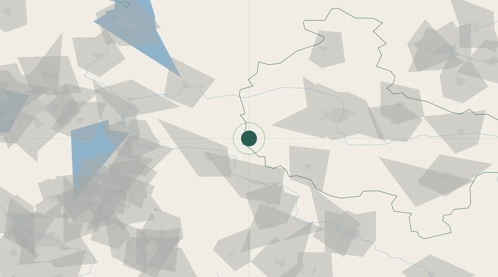
Location
Nearby Logistics Neighbours
Cities
- 1Babimost7 km
- 2Kargowa13 km
- 3Jablonna20 km
- 4Rakoniewice24 km
- 5Cigacice26 km
Ports
- 1Szczecin167 km
- 2Police181 km
- 3Swinoujscie224 km
- 4Kolobrzeg229 km
- 5Wolgast254 km
Airports
- 1Zielona Góra-Babimost Airport10 km
- 2Poznań-Ławica Airport67 km
- 3Krzesiny Military Air Base73 km
- 4Rothenburg/Görlitz Airfield112 km
- 5Powidz Military Air Base133 km
Trade Zones
- 1Legnica SEZ (Legnicka SSE)99 km
- 2Kostrzyń-Słubice SEZ100 km
- 3Wałbrzych SEZ INVEST-PARK (Wałbrzyska SSE)152 km
- 4Kamienna Góra154 km
- 5Szczecin Duty Free Zone167 km
DatabookThe Record of Consolidated Knowledge
Poland beyond logistics?