Transport Functions
Rail
Road
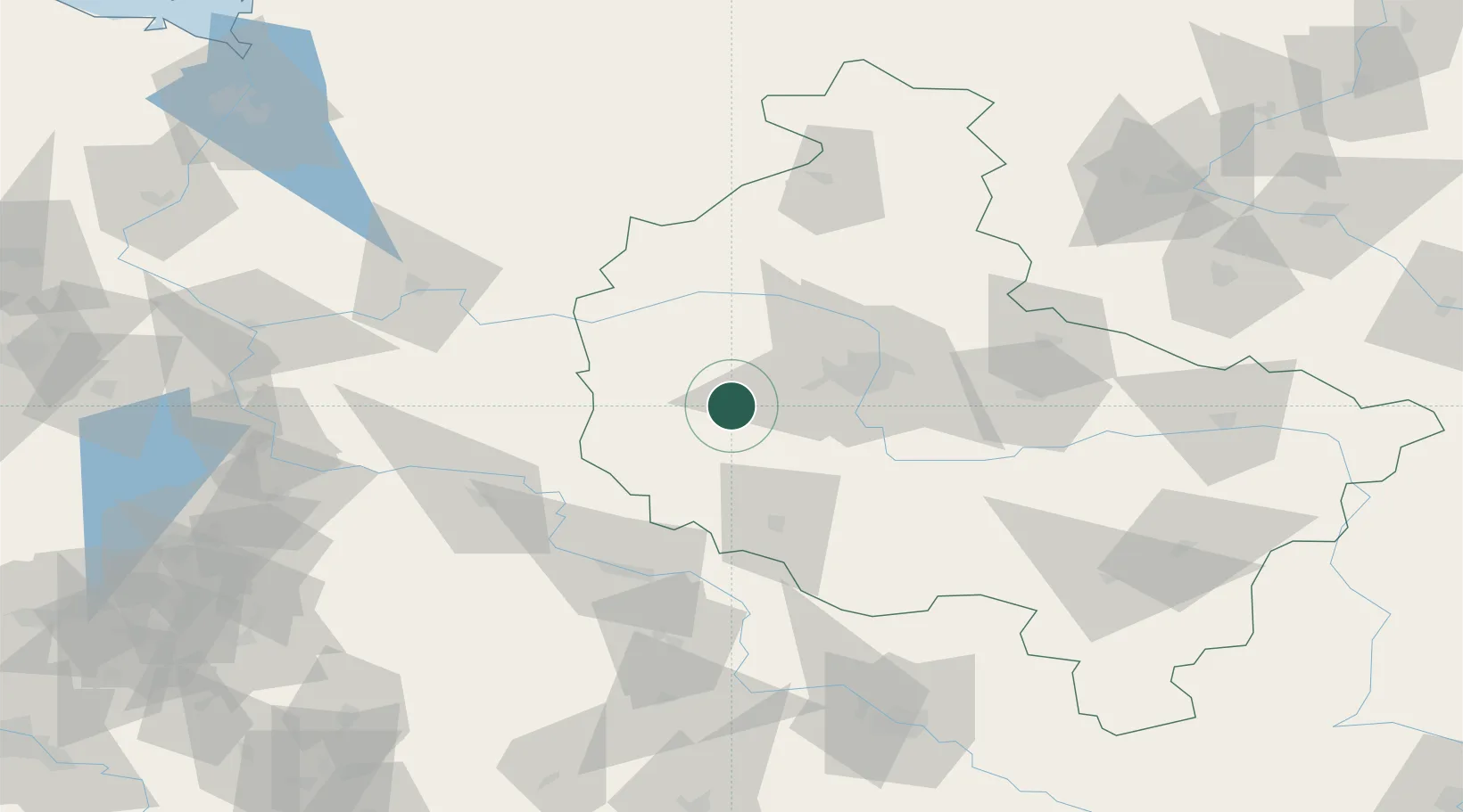
Hub Profile
Place type
District seat
Region
Greater Poland
Population
8,991
Time zone
Europe/Warsaw
Elevation
80 m
Location
Nearby Logistics Neighbours
Cities
- 1Buk9 km
- 2Ruchocice14 km
- 3Jablonna17 km
- 4Kraplewo18 km
- 5Rakoniewice21 km
Ports
- 1Szczecin176 km
- 2Police188 km
- 3Kolobrzeg221 km
- 4Swinoujscie230 km
- 5Darlowo237 km
Airports
Trade Zones
- 1Legnica SEZ (Legnicka SSE)118 km
- 2Kostrzyń-Słubice SEZ125 km
- 3Wałbrzych SEZ INVEST-PARK (Wałbrzyska SSE)165 km
- 4Kamienna Góra171 km
- 5Szczecin Duty Free Zone176 km
DatabookThe Record of Consolidated Knowledge
Poland beyond logistics?