Transport Functions
Road
Multimodal
Hub Profile
Place type
Populated place
Region
Greater Poland
Population
1,001
Time zone
Europe/Warsaw
Elevation
82 m
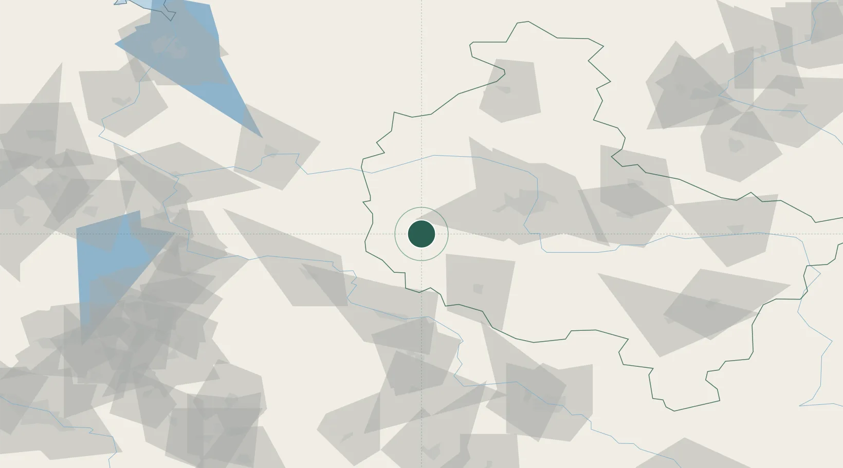
Location
Nearby Logistics Neighbours
Cities
- 1Ruchocice10 km
- 2Rakoniewice10 km
- 3Wielichowo15 km
- 4Opalenica17 km
- 5Chobienice20 km
Ports
- 1Szczecin174 km
- 2Police187 km
- 3Kolobrzeg227 km
- 4Swinoujscie230 km
- 5Darlowo247 km
Airports
- 1Zielona Góra-Babimost Airport30 km
- 2Poznań-Ławica Airport47 km
- 3Krzesiny Military Air Base53 km
- 4Powidz Military Air Base113 km
- 5Rothenburg/Görlitz Airfield129 km
Trade Zones
- 1Legnica SEZ (Legnicka SSE)106 km
- 2Kostrzyń-Słubice SEZ115 km
- 3Wałbrzych SEZ INVEST-PARK (Wałbrzyska SSE)155 km
- 4Kamienna Góra160 km
- 5Szczecin Duty Free Zone174 km
DatabookThe Record of Consolidated Knowledge
Poland beyond logistics?