Transport Functions
Port
Multimodal
Hub Profile
Place type
Populated place
Region
Greater Poland
Time zone
Europe/Warsaw
Elevation
92 m
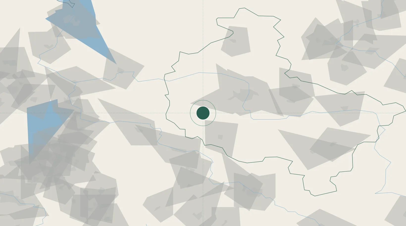
Location
Nearby Logistics Neighbours
Cities
- 1Rakoniewice7 km
- 2Wielichowo8 km
- 3Jablonna10 km
- 4Opalenica14 km
- 5Buk22 km
Ports
- 1Szczecin183 km
- 2Police195 km
- 3Kolobrzeg232 km
- 4Swinoujscie238 km
- 5Darlowo250 km
Airports
- 1Zielona Góra-Babimost Airport38 km
- 2Poznań-Ławica Airport42 km
- 3Krzesiny Military Air Base45 km
- 4Powidz Military Air Base105 km
- 5Copernicus Wrocław Airport126 km
Trade Zones
- 1Legnica SEZ (Legnicka SSE)105 km
- 2Kostrzyń-Słubice SEZ125 km
- 3Wałbrzych SEZ INVEST-PARK (Wałbrzyska SSE)152 km
- 4Kamienna Góra157 km
- 5Szczecin Duty Free Zone182 km
DatabookThe Record of Consolidated Knowledge
Poland beyond logistics?