Transport Functions
Road
Multimodal
Hub Profile
Place type
District seat
Region
Greater Poland
Population
1,736
Time zone
Europe/Warsaw
Elevation
70 m
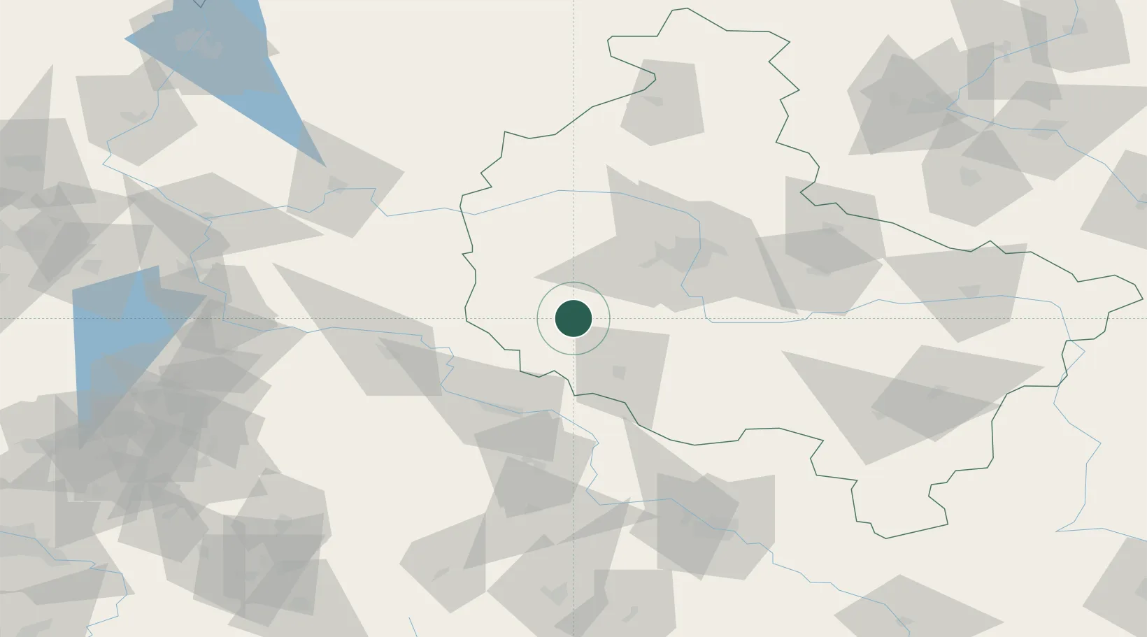
Location
Nearby Logistics Neighbours
Cities
- 1Rakoniewice6 km
- 2Ruchocice8 km
- 3Jablonna15 km
- 4Opalenica21 km
- 5Buk28 km
Ports
- 1Szczecin189 km
- 2Police202 km
- 3Kolobrzeg240 km
- 4Swinoujscie245 km
- 5Darlowo258 km
Airports
- 1Zielona Góra-Babimost Airport39 km
- 2Poznań-Ławica Airport46 km
- 3Krzesiny Military Air Base47 km
- 4Powidz Military Air Base105 km
- 5Copernicus Wrocław Airport118 km
Trade Zones
- 1Legnica SEZ (Legnicka SSE)98 km
- 2Kostrzyń-Słubice SEZ129 km
- 3Wałbrzych SEZ INVEST-PARK (Wałbrzyska SSE)144 km
- 4Kamienna Góra150 km
- 5Szczecin Duty Free Zone189 km
DatabookThe Record of Consolidated Knowledge
Poland beyond logistics?