Transport Functions
Multimodal
Hub Profile
Place type
Populated place
Region
Kujawsko-Pomorskie
Population
1,027
Time zone
Europe/Warsaw
Elevation
103 m
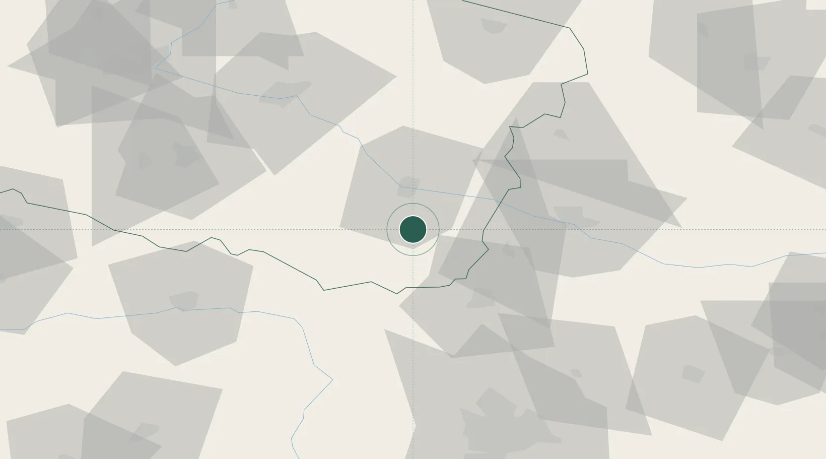
Location
Nearby Logistics Neighbours
Cities
- 1Kowal5 km
- 2Brzesc Kujawski16 km
- 3Gostynin26 km
- 4Wielgie28 km
- 5Krosniewice30 km
Ports
- 1Gdansk206 km
- 2Nowy Port213 km
- 3Gdynia227 km
- 4Baltiysk241 km
- 5Kaliningrad259 km
Airports
Trade Zones
DatabookThe Record of Consolidated Knowledge
Poland beyond logistics?