Transport Functions
Rail
Road
Multimodal
Hub Profile
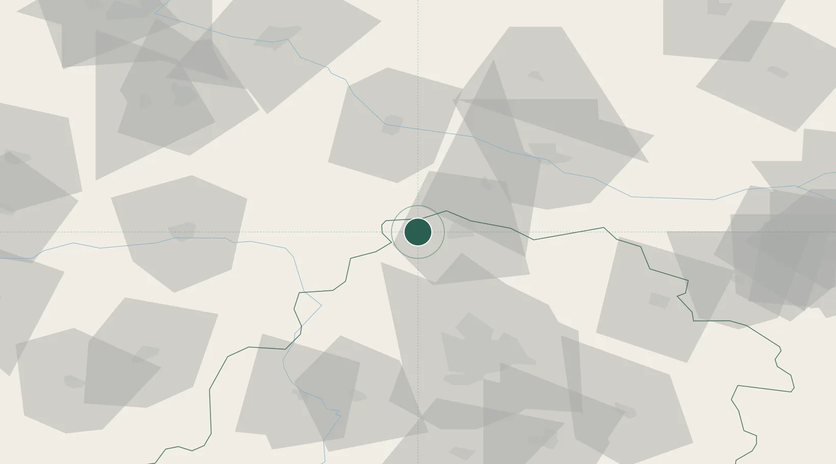
Place type
District seat
Region
Łódź Voivodeship
Population
4,610
Time zone
Europe/Warsaw
Elevation
124 m
Location
Nearby Logistics Neighbours
Cities
- 1Krzewie2 km
- 2Gostynin26 km
- 3Czerniewice30 km
- 4Kowal32 km
- 5Ozorków32 km
Ports
- 1Gdansk236 km
- 2Nowy Port243 km
- 3Gdynia257 km
- 4Baltiysk269 km
- 5Kaliningrad286 km
Airports
- 1Leźnica Wielka Air Base27 km
- 2Łódź Władysław Reymont Airport61 km
- 3Łask Air Base78 km
- 4Inowroclaw Military Air Base87 km
- 5Powidz Military Air Base92 km
Trade Zones
DatabookThe Record of Consolidated Knowledge
Poland beyond logistics?