Transport Functions
Rail
Road
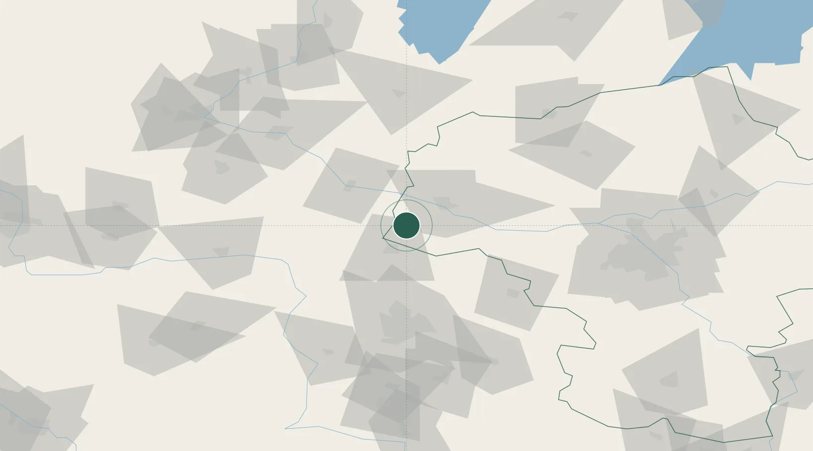
Hub Profile
Place type
Provincial seat
Region
Mazovia
Population
18,976
Time zone
Europe/Warsaw
Elevation
89 m
Location
Nearby Logistics Neighbours
Cities
- 1Kowal23 km
- 2Krosniewice26 km
- 3Czerniewice26 km
- 4Krzewie28 km
- 5Wielgie39 km
Ports
- 1Gdansk221 km
- 2Nowy Port228 km
- 3Gdynia243 km
- 4Baltiysk248 km
- 5Kaliningrad263 km
Airports
- 1Leźnica Wielka Air Base50 km
- 2Łódź Władysław Reymont Airport77 km
- 3Warsaw Modlin Airport82 km
- 4Inowroclaw Military Air Base88 km
- 5Łask Air Base98 km
Trade Zones
DatabookThe Record of Consolidated Knowledge
Poland beyond logistics?