Transport Functions
Multimodal
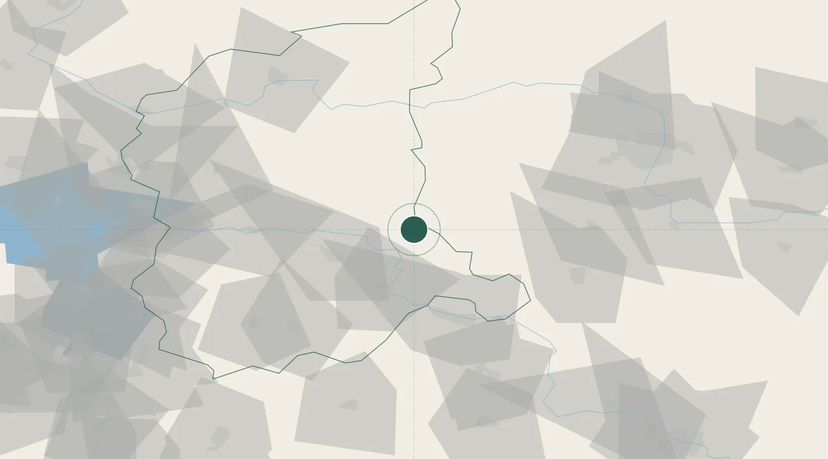
Hub Profile
Place type
District seat
Region
Lubusz
Population
3,649
Time zone
Europe/Warsaw
Elevation
59 m
Location
Nearby Logistics Neighbours
Cities
- 1Babimost11 km
- 2Chobienice13 km
- 3Cigacice16 km
- 4Czerwiénsk29 km
- 5Jablonna30 km
Ports
- 1Szczecin174 km
- 2Police188 km
- 3Swinoujscie231 km
- 4Kolobrzeg240 km
- 5Wolgast260 km
Airports
Trade Zones
- 1Legnica SEZ (Legnicka SSE)88 km
- 2Kostrzyń-Słubice SEZ101 km
- 3Wałbrzych SEZ INVEST-PARK (Wałbrzyska SSE)142 km
- 4Kamienna Góra143 km
- 5Szczecin Duty Free Zone173 km
DatabookThe Record of Consolidated Knowledge
Poland beyond logistics?