Transport Functions
Rail
Road
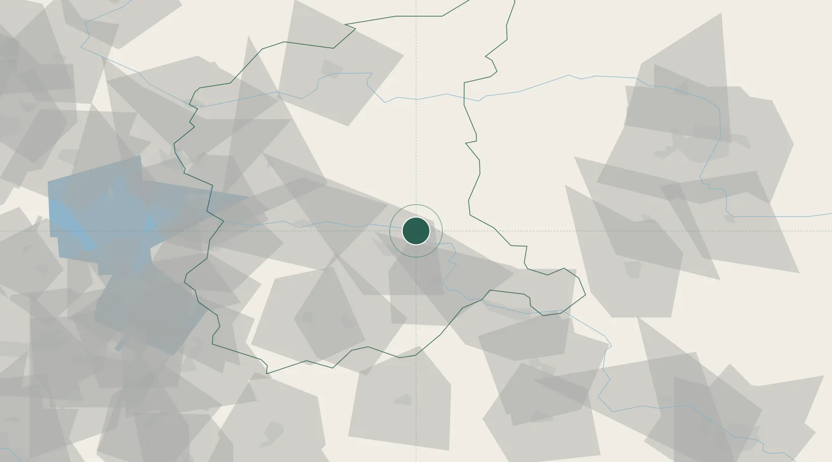
Hub Profile
Place type
Populated place
Region
Lubusz
Population
750
Time zone
Europe/Warsaw
Elevation
80 m
Location
Nearby Logistics Neighbours
Cities
- 1Czerwiénsk13 km
- 2Kargowa16 km
- 3Babimost21 km
- 4Chobienice26 km
- 5Kozuchów32 km
Ports
- 1Szczecin170 km
- 2Police185 km
- 3Swinoujscie228 km
- 4Kolobrzeg243 km
- 5Wolgast256 km
Airports
Trade Zones
- 1Legnica SEZ (Legnicka SSE)87 km
- 2Kostrzyń-Słubice SEZ91 km
- 3Kamienna Góra142 km
- 4Wałbrzych SEZ INVEST-PARK (Wałbrzyska SSE)143 km
- 5Szczecin Duty Free Zone170 km
DatabookThe Record of Consolidated Knowledge
Poland beyond logistics?