Transport Functions
Rail
Road
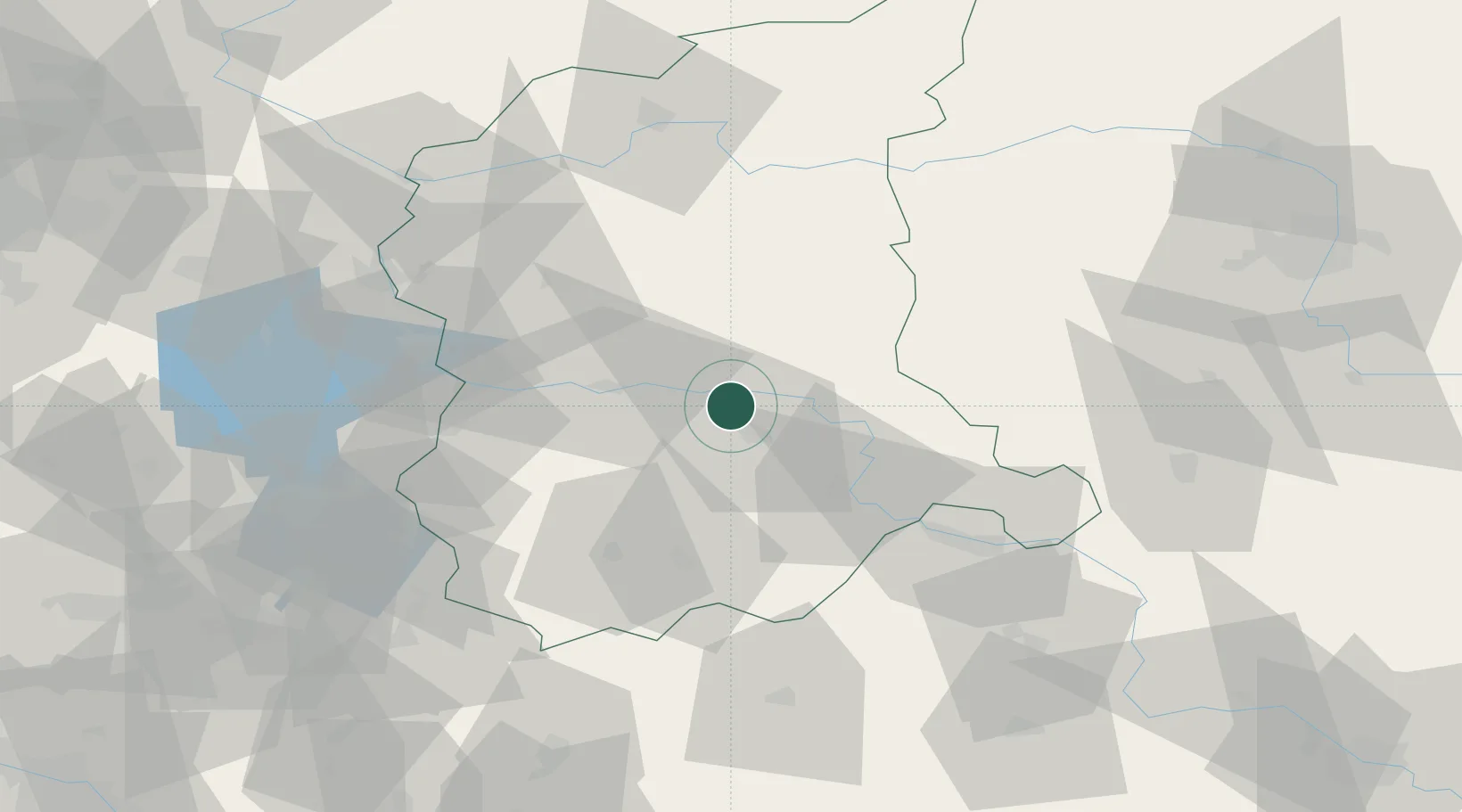
Hub Profile
Place type
District seat
Region
Lubusz
Population
4,197
Time zone
Europe/Warsaw
Elevation
55 m
Location
Nearby Logistics Neighbours
Cities
- 1Cigacice13 km
- 2Krosno Odrzanskie24 km
- 3Kargowa29 km
- 4Kozuchów32 km
- 5Babimost32 km
Ports
- 1Szczecin167 km
- 2Police182 km
- 3Swinoujscie225 km
- 4Kolobrzeg245 km
- 5Wolgast252 km
Airports
- 1Zielona Góra-Babimost Airport28 km
- 2Rothenburg/Görlitz Airfield80 km
- 3Poznań-Ławica Airport105 km
- 4Krzesiny Military Air Base110 km
- 5Berlin Brandenburg Airport137 km
Trade Zones
- 1Kostrzyń-Słubice SEZ84 km
- 2Legnica SEZ (Legnicka SSE)89 km
- 3Kamienna Góra143 km
- 4Wałbrzych SEZ INVEST-PARK (Wałbrzyska SSE)146 km
- 5Szczecin Duty Free Zone167 km
DatabookThe Record of Consolidated Knowledge
Poland beyond logistics?