Transport Functions
Rail
Road
Airport
Hub Profile
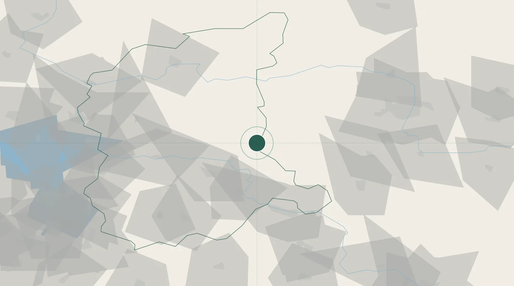
Place type
District seat
Region
Lubusz
Population
4,182
Time zone
Europe/Warsaw
Elevation
57 m
Location
Nearby Logistics Neighbours
Cities
- 1Chobienice7 km
- 2Kargowa11 km
- 3Cigacice21 km
- 4Jablonna27 km
- 5Rakoniewice31 km
Ports
- 1Szczecin164 km
- 2Police177 km
- 3Swinoujscie221 km
- 4Kolobrzeg229 km
- 5Wolgast250 km
Airports
Trade Zones
- 1Kostrzyń-Słubice SEZ94 km
- 2Legnica SEZ (Legnicka SSE)99 km
- 3Wałbrzych SEZ INVEST-PARK (Wałbrzyska SSE)153 km
- 4Kamienna Góra154 km
- 5Szczecin Duty Free Zone163 km
DatabookThe Record of Consolidated Knowledge
Poland beyond logistics?