Transport Functions
Multimodal
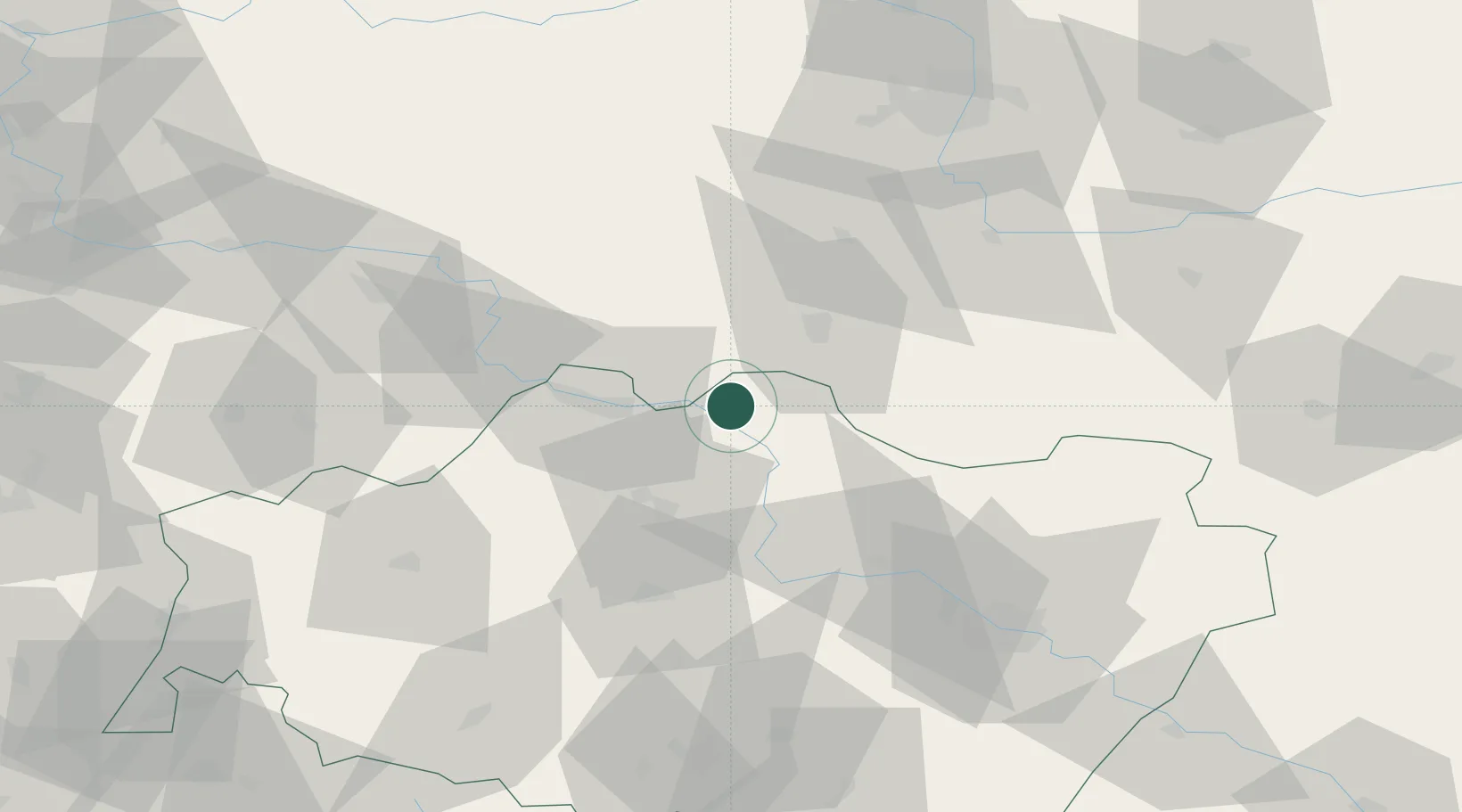
Hub Profile
Place type
Populated place
Region
Lower Silesia
Population
860
Time zone
Europe/Warsaw
Elevation
79 m
Location
Nearby Logistics Neighbours
Ports
- 1Szczecin230 km
- 2Police244 km
- 3Swinoujscie287 km
- 4Kolobrzeg289 km
- 5Darlowo308 km
Airports
Trade Zones
- 1Legnica SEZ (Legnicka SSE)53 km
- 2Wałbrzych SEZ INVEST-PARK (Wałbrzyska SSE)94 km
- 3Kamienna Góra101 km
- 4Kostrzyń-Słubice SEZ157 km
- 5Pardubice City Industrial Zone187 km
DatabookThe Record of Consolidated Knowledge
Poland beyond logistics?