Transport Functions
Rail
Road
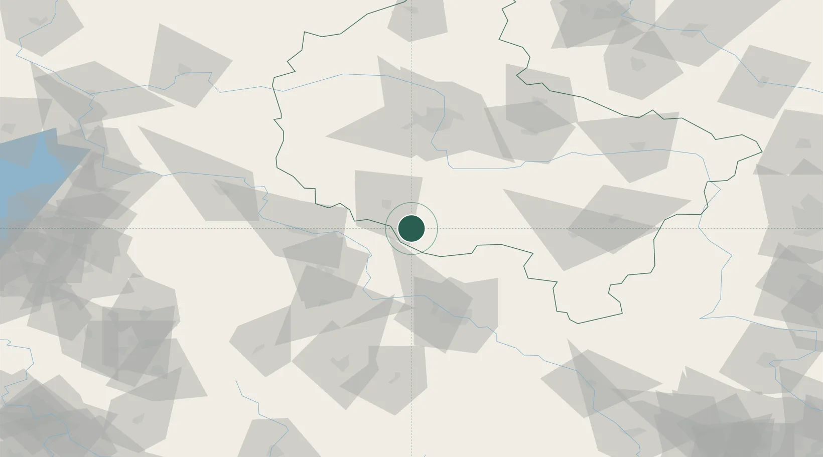
Hub Profile
Place type
District seat
Region
Greater Poland
Population
2,960
Time zone
Europe/Warsaw
Elevation
116 m
Location
Nearby Logistics Neighbours
Cities
- 1Poniec8 km
- 2Miejska Gorka15 km
- 3Gora17 km
- 4Leszno21 km
- 5Gostyn25 km
Ports
- 1Szczecin242 km
- 2Police255 km
- 3Kolobrzeg291 km
- 4Swinoujscie298 km
- 5Darlowo305 km
Airports
Trade Zones
- 1Legnica SEZ (Legnicka SSE)73 km
- 2Wałbrzych SEZ INVEST-PARK (Wałbrzyska SSE)103 km
- 3Kamienna Góra114 km
- 4Kostrzyń-Słubice SEZ175 km
- 5Łódź SEZ (ōódzka SSE)188 km
DatabookThe Record of Consolidated Knowledge
Poland beyond logistics?