Transport Functions
Road
Multimodal
Hub Profile
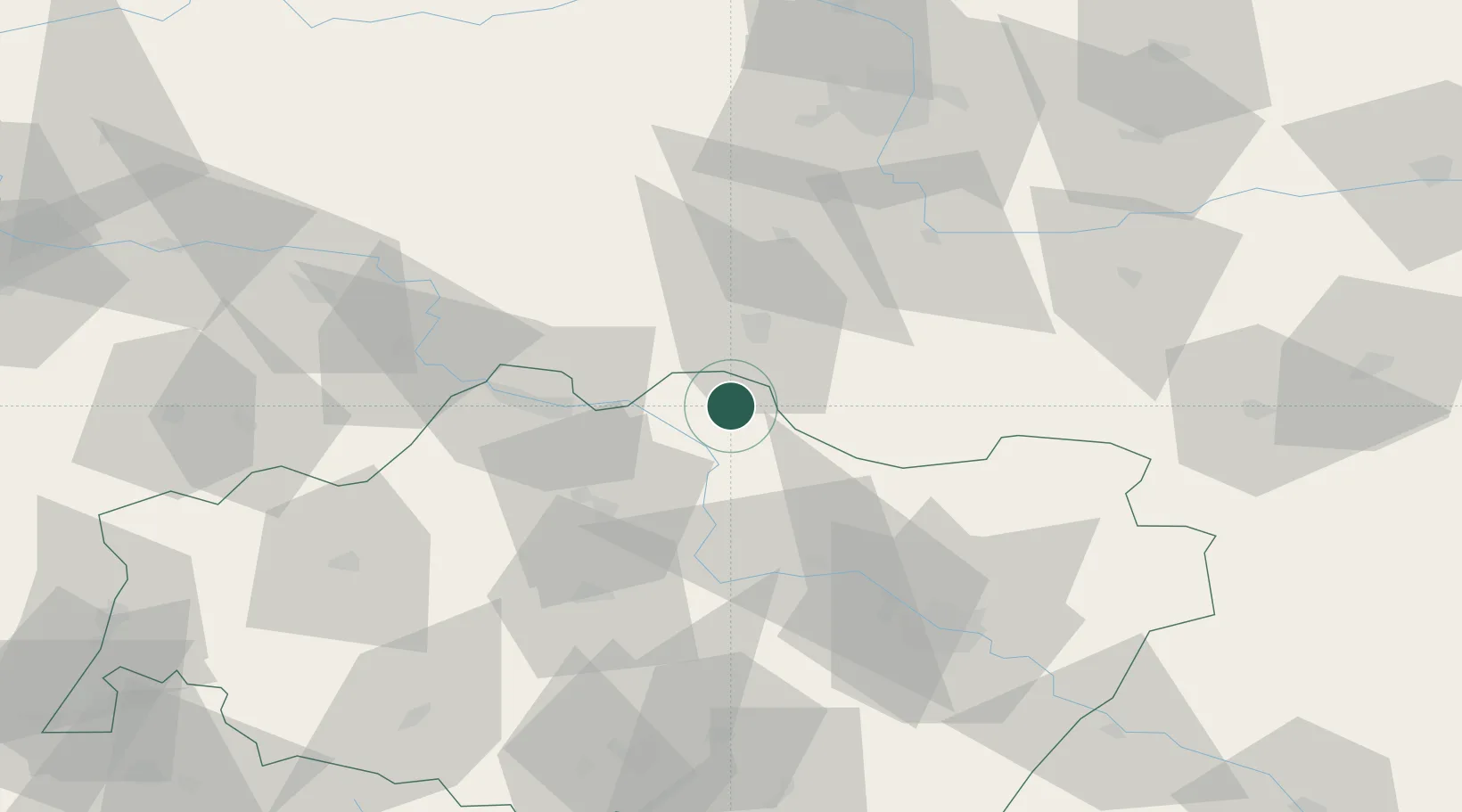
Place type
Populated place
Region
Lower Silesia
Population
12,668
Time zone
Europe/Warsaw
Elevation
90 m
Location
Nearby Logistics Neighbours
Cities
- 1Niechlow10 km
- 2Bojanowo17 km
- 3Leszno21 km
- 4Poniec23 km
- 5Miejska Gorka30 km
Ports
- 1Szczecin236 km
- 2Police249 km
- 3Kolobrzeg291 km
- 4Swinoujscie292 km
- 5Darlowo308 km
Airports
Trade Zones
- 1Legnica SEZ (Legnicka SSE)59 km
- 2Wałbrzych SEZ INVEST-PARK (Wałbrzyska SSE)95 km
- 3Kamienna Góra104 km
- 4Kostrzyń-Słubice SEZ165 km
- 5Pardubice City Industrial Zone189 km
DatabookThe Record of Consolidated Knowledge
Poland beyond logistics?