Transport Functions
Rail
Road
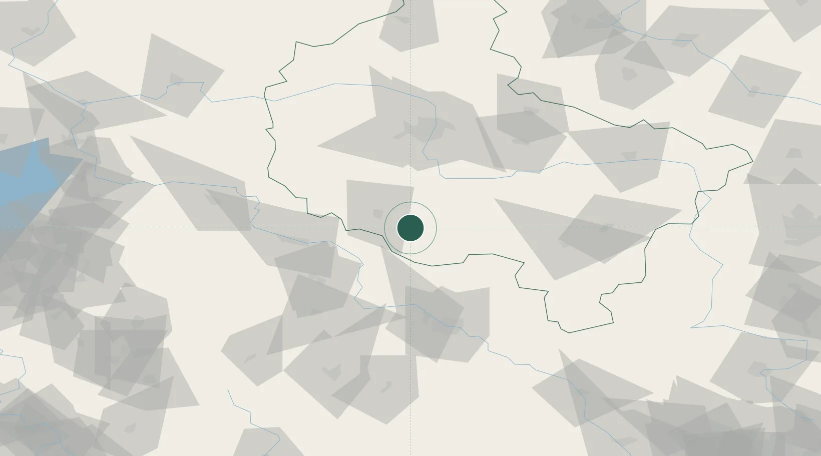
Hub Profile
Place type
District seat
Region
Greater Poland
Population
2,849
Time zone
Europe/Warsaw
Elevation
89 m
Location
Nearby Logistics Neighbours
Cities
- 1Bojanowo8 km
- 2Miejska Gorka17 km
- 3Gostyn18 km
- 4Leszno19 km
- 5Gora23 km
Ports
- 1Szczecin238 km
- 2Police251 km
- 3Kolobrzeg285 km
- 4Swinoujscie293 km
- 5Darlowo298 km
Airports
Trade Zones
- 1Legnica SEZ (Legnicka SSE)81 km
- 2Wałbrzych SEZ INVEST-PARK (Wałbrzyska SSE)111 km
- 3Kamienna Góra122 km
- 4Kostrzyń-Słubice SEZ174 km
- 5Łódź SEZ (ōódzka SSE)184 km
DatabookThe Record of Consolidated Knowledge
Poland beyond logistics?