Transport Functions
Multimodal
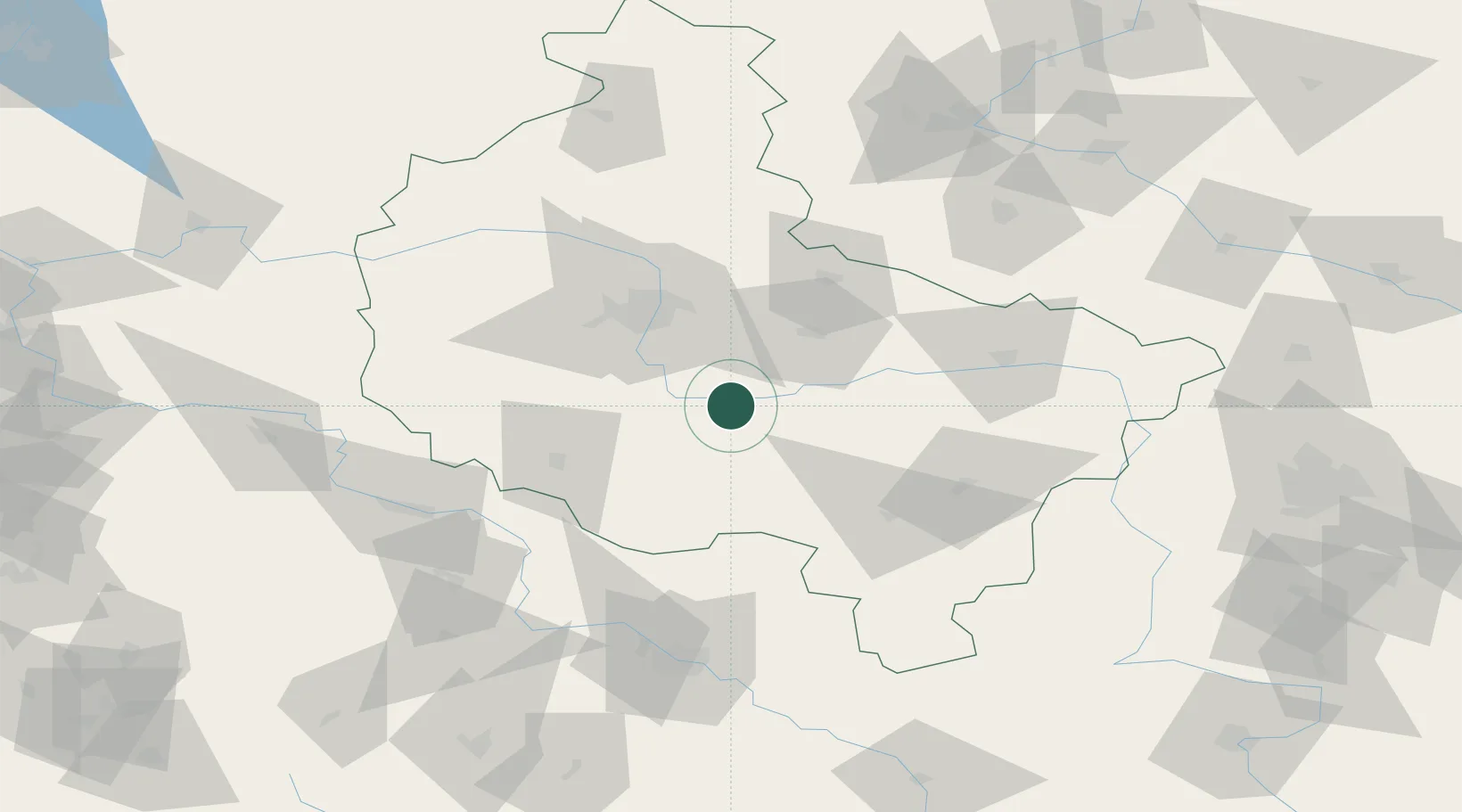
Hub Profile
Region
WP
Location
Nearby Logistics Neighbours
Cities
- 1Nowe Miasto nad Warta13 km
- 2Borek Wielkopolski17 km
- 3Sroda Wielkopolska17 km
- 4Orzechowo19 km
- 5Dziecmierowo22 km
Airports
Trade Zones
- 1Legnica SEZ (Legnicka SSE)125 km
- 2Wałbrzych SEZ INVEST-PARK (Wałbrzyska SSE)153 km
- 3Łódź SEZ (ōódzka SSE)158 km
- 4Kamienna Góra165 km
- 5Kostrzyń-Słubice SEZ186 km
DatabookThe Record of Consolidated Knowledge
Poland beyond logistics?