UN/LOCODE hub · Poland
PLOYN

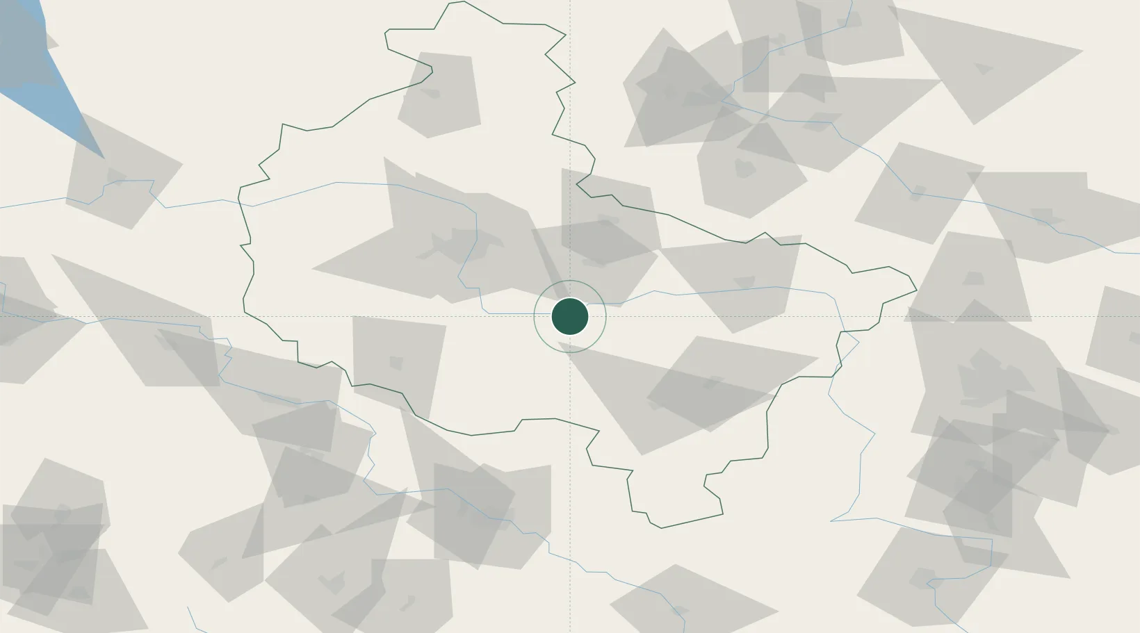
Nowe Miasto nad Warta

52.0833°, 17.4167°
1,543
Population
2
Transport functions

Transport Functions

Road
Multimodal
UN/LOCODE

Hub Profile

Place type
Populated place
GeoNames
Region
Greater Poland
GeoNames
Population
1,543
GeoNames
Time zone
Europe/Warsaw
GeoNames
Elevation
76 m
GeoNames

Location

Location of PLOYN
Natural Earth 10m (public domain) · Greater Poland · PLOYN · 52.08, 17.42GoogleOSMYandex

Nearby Logistics Neighbours

Cities
  1. 1Orzechowo7 km
  2. 2Ksiaz Wielkopolsk13 km
  3. 3Sroda Wielkopolska17 km
  4. 4Borek Wielkopolski22 km
  5. 5Dziecmierowo23 km
Nearest neighbours — logibook spatial index (haversine) over the source coordinates
Ports
  1. 1Szczecin243 km
  2. 2Police253 km
  3. 3Gdansk265 km
  4. 4Kolobrzeg268 km
  5. 5Darlowo270 km
Nearest neighbours — logibook spatial index (haversine) over the source coordinates
Airports
  1. 1Krzesiny Military Air Base41 km
  2. 2Powidz Military Air Base44 km
  3. 3Poznań-Ławica Airport55 km
  4. 4Inowroclaw Military Air Base104 km
  5. 5Zielona Góra-Babimost Airport111 km
Nearest neighbours — logibook spatial index (haversine) over the source coordinates
Trade Zones
  1. 1Legnica SEZ (Legnicka SSE)136 km
  2. 2Łódź SEZ (ōódzka SSE)146 km
  3. 3Wałbrzych SEZ INVEST-PARK (Wałbrzyska SSE)160 km
  4. 4Kamienna Góra174 km
  5. 5Kostrzyń-Słubice SEZ197 km
Nearest neighbours — logibook spatial index (haversine) over the source coordinates
DatabookThe Record of Consolidated Knowledge
Poland beyond logistics?
Browse databook

All Sources

LocationsUN/LOCODE
UN/LOCODE — free
LocationsGeoNames
CC BY 4.0
Portsthe NGA World Port Index
Public domain (US gov)
AirportsOurAirports
Public domain
Trade Zonesthe World Bank SEZ database
CC BY 4.0
Trade ZonesOpen Zone Map
CC BY
← Poland locations