UN/LOCODE hub · Poland
PLSWK
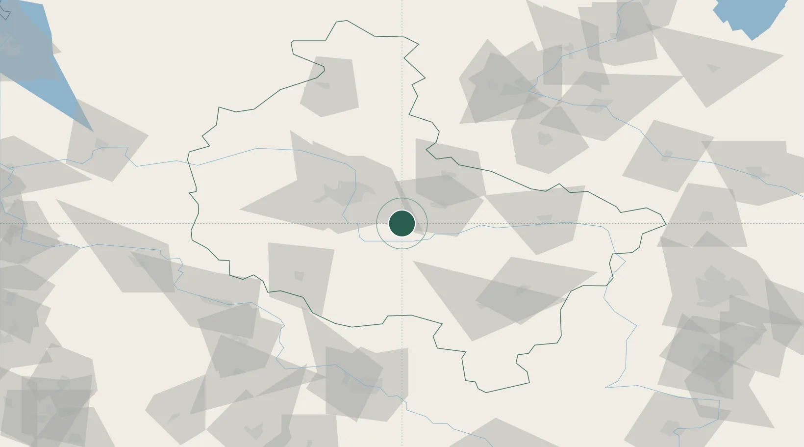
Sroda Wielkopolska
52.2167°, 17.2833°
21,757
Population
2
Transport functions
Transport Functions
Rail
Road
Hub Profile
Place type
Provincial seat
Region
Greater Poland
Population
21,757
Time zone
Europe/Warsaw
Elevation
92 m
Location
Nearby Logistics Neighbours
Cities
- 1Dziecmierowo6 km
- 2Orzechowo17 km
- 3Ksiaz Wielkopolsk17 km
- 4Nowe Miasto nad Warta17 km
- 5Robakowo18 km
Airports
Trade Zones
- 1Legnica SEZ (Legnicka SSE)140 km
- 2Łódź SEZ (ōódzka SSE)159 km
- 3Wałbrzych SEZ INVEST-PARK (Wałbrzyska SSE)169 km
- 4Kamienna Góra182 km
- 5Kostrzyń-Słubice SEZ184 km
DatabookThe Record of Consolidated Knowledge
Poland beyond logistics?