UN/LOCODE hub · Poland
PLBOK
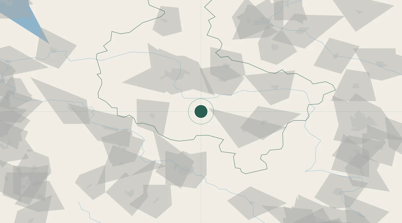
Borek Wielkopolski
51.9167°, 17.2500°
2,527
Population
2
Transport functions
Transport Functions
Rail
Road
Hub Profile
Place type
District seat
Region
Greater Poland
Population
2,527
Time zone
Europe/Warsaw
Elevation
123 m
Location
Nearby Logistics Neighbours
Cities
- 1Ksiaz Wielkopolsk17 km
- 2Kozmin, Krotoszyn18 km
- 3Gostyn18 km
- 4Nowe Miasto nad Warta22 km
- 5Kobylin22 km
Airports
Trade Zones
- 1Legnica SEZ (Legnicka SSE)115 km
- 2Wałbrzych SEZ INVEST-PARK (Wałbrzyska SSE)138 km
- 3Kamienna Góra152 km
- 4Łódź SEZ (ōódzka SSE)154 km
- 5Kostrzyń-Słubice SEZ193 km
DatabookThe Record of Consolidated Knowledge
Poland beyond logistics?