Transport Functions
Multimodal
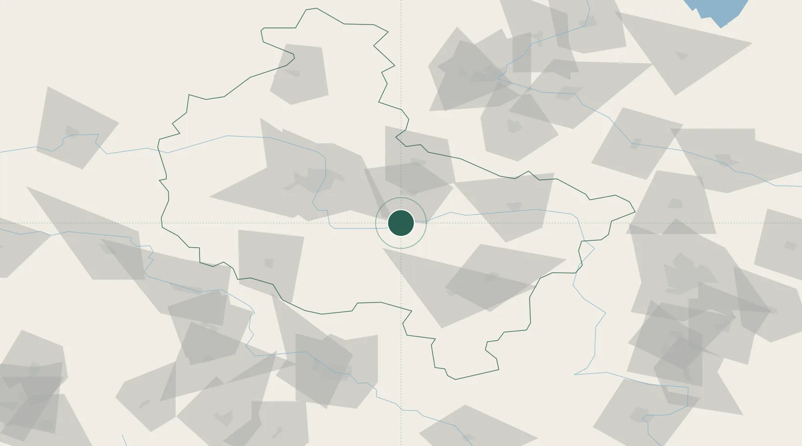
Hub Profile
Place type
Populated place
Region
Greater Poland
Time zone
Europe/Warsaw
Elevation
71 m
Location
Nearby Logistics Neighbours
Cities
- 1Nowe Miasto nad Warta7 km
- 2Sroda Wielkopolska17 km
- 3Ksiaz Wielkopolsk19 km
- 4Dziecmierowo21 km
- 5Borek Wielkopolski29 km
Airports
Trade Zones
- 1Legnica SEZ (Legnicka SSE)143 km
- 2Łódź SEZ (ōódzka SSE)143 km
- 3Wałbrzych SEZ INVEST-PARK (Wałbrzyska SSE)167 km
- 4Kamienna Góra181 km
- 5Kostrzyń-Słubice SEZ200 km
DatabookThe Record of Consolidated Knowledge
Poland beyond logistics?