Transport Functions
Rail
Road
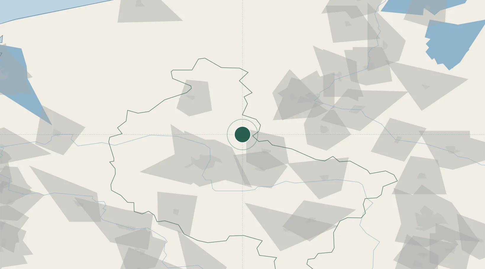
Hub Profile
Place type
Populated place
Region
Greater Poland
Population
2,500
Time zone
Europe/Warsaw
Elevation
96 m
Location
Nearby Logistics Neighbours
Airports
Trade Zones
- 1Pomeranian SEZ (Pomorska SSE)182 km
- 2Łódź SEZ (ōódzka SSE)182 km
- 3Kostrzyń-Słubice SEZ182 km
- 4Legnica SEZ (Legnicka SSE)188 km
- 5Słupsk SEZ (Słupska SSE)194 km
DatabookThe Record of Consolidated Knowledge
Poland beyond logistics?