UN/LOCODE hub · Poland
PLOBS
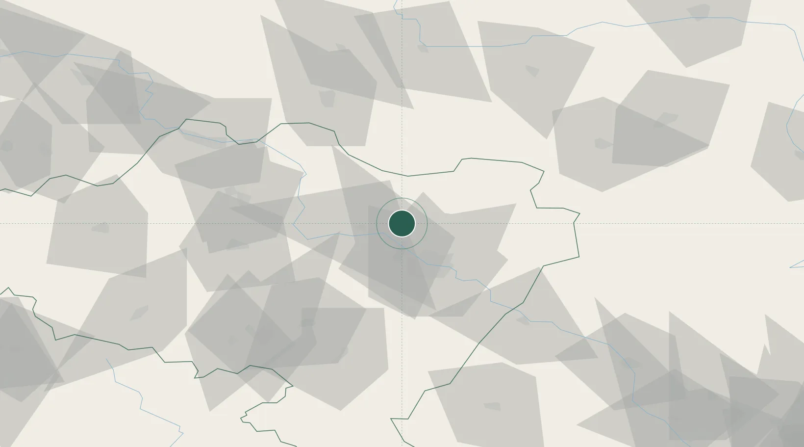
Oborniki Slaskie
51.3000°, 16.9167°
8,440
Population
2
Transport functions
Transport Functions
Rail
Road
Hub Profile
Place type
Populated place
Region
Lower Silesia
Population
8,440
Time zone
Europe/Warsaw
Elevation
171 m
Location
Nearby Logistics Neighbours
Cities
- 1Kostomloty35 km
- 2Magnice35 km
- 3Kobierzyce37 km
- 4Miejska Gorka39 km
- 5Mietków40 km
Ports
- 1Szczecin285 km
- 2Police298 km
- 3Kolobrzeg337 km
- 4Swinoujscie342 km
- 5Darlowo350 km
Airports
- 1Copernicus Wrocław Airport22 km
- 2Krzesiny Military Air Base115 km
- 3Zielona Góra-Babimost Airport121 km
- 4Poznań-Ławica Airport125 km
- 5Powidz Military Air Base136 km
Trade Zones
DatabookThe Record of Consolidated Knowledge
Poland beyond logistics?