Transport Functions
Multimodal
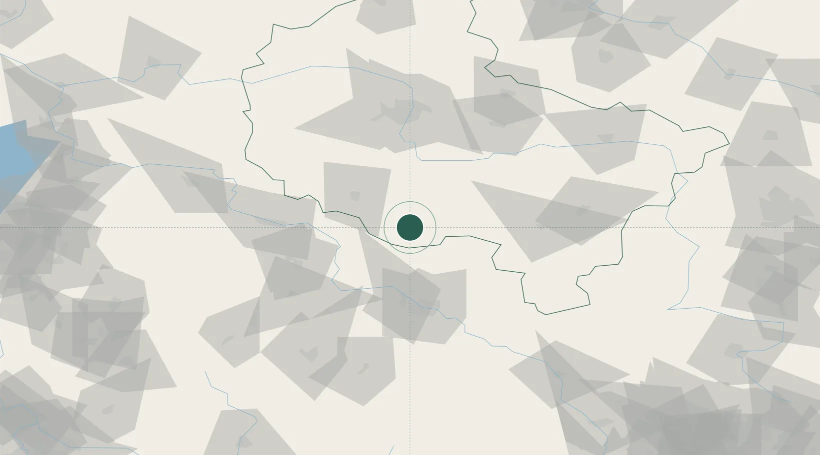
Hub Profile
Place type
District seat
Region
Greater Poland
Population
3,169
Time zone
Europe/Warsaw
Elevation
96 m
Location
Nearby Logistics Neighbours
Ports
- 1Szczecin255 km
- 2Police267 km
- 3Kolobrzeg300 km
- 4Swinoujscie310 km
- 5Darlowo312 km
Airports
Trade Zones
DatabookThe Record of Consolidated Knowledge
Poland beyond logistics?