Transport Functions
Rail
Road
Multimodal
Hub Profile
Place type
Populated place
Region
Łódź Voivodeship
Time zone
Europe/Warsaw
Elevation
119 m
Logistics facilities
1
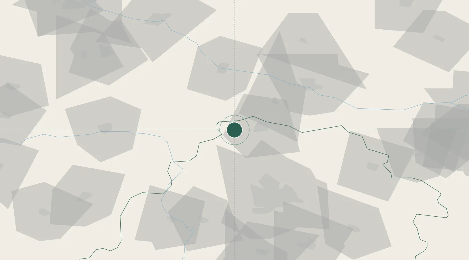
Location
Nearby Logistics Neighbours
Cities
- 1Krosniewice2 km
- 2Gostynin28 km
- 3Ozorków31 km
- 4Czerniewice31 km
- 5Kowal33 km
Ports
- 1Gdansk237 km
- 2Nowy Port245 km
- 3Gdynia259 km
- 4Baltiysk271 km
- 5Kaliningrad287 km
Airports
- 1Leźnica Wielka Air Base26 km
- 2Łódź Władysław Reymont Airport60 km
- 3Łask Air Base76 km
- 4Inowroclaw Military Air Base87 km
- 5Powidz Military Air Base91 km
Trade Zones
DatabookThe Record of Consolidated Knowledge
Poland beyond logistics?