Transport Functions
Rail
Road
Hub Profile
Place type
District seat
Region
Greater Poland
Population
6,067
Time zone
Europe/Warsaw
Elevation
35 m
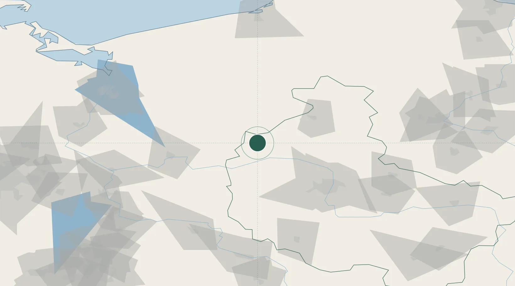
Location
Nearby Logistics Neighbours
Cities
- 1Czlopa23 km
- 2Drezdenko-Chyze23 km
- 3Zalom23 km
- 4Lubasz24 km
- 5Czarnków27 km
Ports
- 1Szczecin123 km
- 2Police131 km
- 3Kolobrzeg154 km
- 4Swinoujscie171 km
- 5Darlowo173 km
Airports
Trade Zones
- 1Kostrzyń-Słubice SEZ108 km
- 2Szczecin Duty Free Zone122 km
- 3Swinoujscie Duty Free Zone169 km
- 4Legnica SEZ (Legnicka SSE)179 km
- 5Słupsk SEZ (Słupska SSE)185 km
DatabookThe Record of Consolidated Knowledge
Poland beyond logistics?