UN/LOCODE hub · Poland
PLSMY

Szamotuly

52.6167°, 16.5833°
18,588
Population
2
Transport functions

Transport Functions

Rail
Road
UN/LOCODE

Hub Profile

Place type
Provincial seat
GeoNames
Region
Greater Poland
GeoNames
Population
18,588
GeoNames
Time zone
Europe/Warsaw
GeoNames
Elevation
71 m
GeoNames

Location

Location of PLSMY
Natural Earth 10m (public domain) · Greater Poland · PLSMY · 52.62, 16.58GoogleOSMYandex

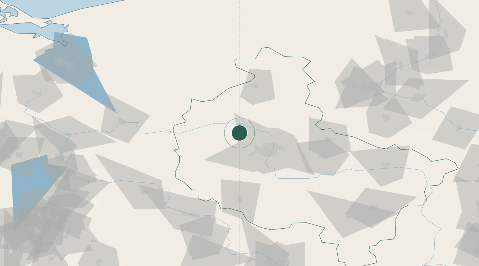
Nearby Logistics Neighbours

Cities
  1. 1Lulinek10 km
  2. 2Obrzycko10 km
  3. 3Rokietnica15 km
  4. 4Kiekrz20 km
  5. 5Pniewy26 km
Nearest neighbours — logibook spatial index (haversine) over the source coordinates
Ports
  1. 1Szczecin163 km
  2. 2Police171 km
  3. 3Kolobrzeg191 km
  4. 4Darlowo202 km
  5. 5Swinoujscie211 km
Nearest neighbours — logibook spatial index (haversine) over the source coordinates
Airports
  1. 1Poznań-Ławica Airport27 km
  2. 2Krzesiny Military Air Base41 km
  3. 3Zielona Góra-Babimost Airport75 km
  4. 4Powidz Military Air Base90 km
  5. 5Miroslawiec Military Air Base93 km
Nearest neighbours — logibook spatial index (haversine) over the source coordinates
Trade Zones
  1. 1Kostrzyń-Słubice SEZ131 km
  2. 2Legnica SEZ (Legnicka SSE)155 km
  3. 3Szczecin Duty Free Zone162 km
  4. 4Wałbrzych SEZ INVEST-PARK (Wałbrzyska SSE)201 km
  5. 5Kamienna Góra207 km
Nearest neighbours — logibook spatial index (haversine) over the source coordinates
DatabookThe Record of Consolidated Knowledge
Poland beyond logistics?
Browse databook

All Sources

LocationsUN/LOCODE
UN/LOCODE — free
LocationsGeoNames
CC BY 4.0
Portsthe NGA World Port Index
Public domain (US gov)
AirportsOurAirports
Public domain
Trade Zonesthe World Bank SEZ database
CC BY 4.0
Trade ZonesOpen Zone Map
CC BY
← Poland locations