Transport Functions
Rail
Road
Hub Profile
Place type
District seat
Region
Pomerania
Population
3,925
Time zone
Europe/Warsaw
Elevation
-2 m
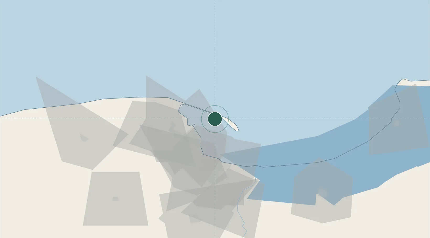
Location
Nearby Logistics Neighbours
Cities
- 1Hel13 km
- 2Gdynia19 km
- 3Wladyslawowo20 km
- 4Rumia21 km
- 5Sopot27 km
Ports
- 1Gdynia18 km
- 2Nowy Port30 km
- 3Gdansk37 km
- 4Baltiysk80 km
- 5Kaliningrad117 km
Airports
- 1Gdańsk Lech Wałęsa Airport36 km
- 2Cewice Naval Air Base65 km
- 3Malbork Królewo Air Base79 km
- 4Kaliningrad Chkalovsk Naval Air Base112 km
- 5Khrabrovo Airport126 km
Trade Zones
DatabookThe Record of Consolidated Knowledge
Poland beyond logistics?