Transport Functions
Port
Rail
Road
Hub Profile
Place type
District seat
Region
Pomerania
Population
4,136
Time zone
Europe/Warsaw
Elevation
1 m
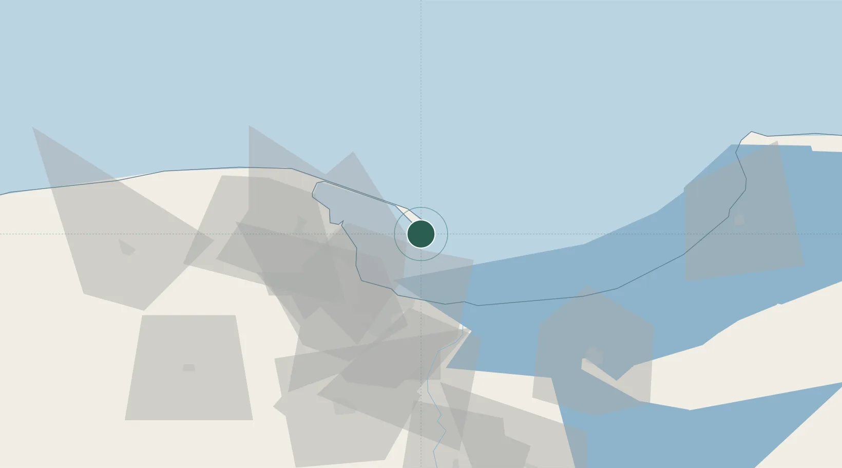
Location
Nearby Logistics Neighbours
Cities
- 1Jastarnia13 km
- 2Gdynia20 km
- 3Sopot23 km
- 4Nowy Port/Gdansk24 km
- 5Gdansk26 km
Ports
- 1Gdynia18 km
- 2Nowy Port22 km
- 3Gdansk29 km
- 4Baltiysk71 km
- 5Kaliningrad109 km
Airports
- 1Gdańsk Lech Wałęsa Airport33 km
- 2Malbork Królewo Air Base67 km
- 3Cewice Naval Air Base70 km
- 4Kaliningrad Chkalovsk Naval Air Base104 km
- 5Khrabrovo Airport120 km
Trade Zones
DatabookThe Record of Consolidated Knowledge
Poland beyond logistics?